We will not be issuing daily forecasts with danger ratings this season. We simply do not have enough information for this level of detail. We will be keeping an eye on the snowpack and will post a detailed summary of conditions on Saturday mornings. Mid-week updates will be provided as weather conditions dictate.
Snow showers will continue today with an additional 2-4 inches falling in the Abajos. West winds will blow 15-20 mph. Thursday will be sunny and cold. Another system moves in Friday bringing light snow showers. We will see a good chance for heavy snow on Saturday and Sunday.
Snowpack Summary and General Conditions
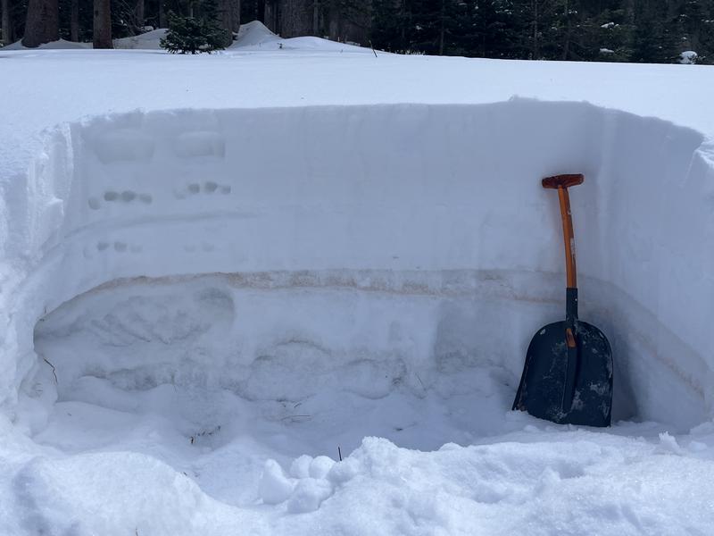
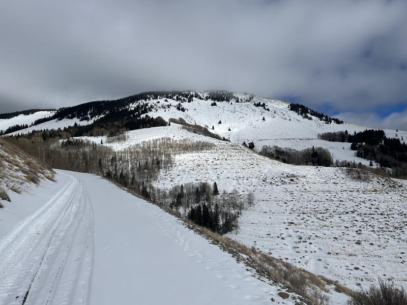
Four inches of new snow has fallen overnight. Snow cover remains thin in the Abajo mountains ranging from about 20" in lower North Creek to up to 3' on sheltered, northerly aspects around Cooley Pass. Wind exposed terrain alternates between scoured and wind drifted, while most southerly aspects have less than a foot of snow.
A poor snowpack structure has developed on shady slopes where loose, weak, sugary snow has formed a
persistent weak layer under a
slab of stronger snow. This poor snowpack structure leads to unstable avalanche conditions. West winds will blow 15-20 mph today, strong enough to blow and drift the new snow and complicate avalanche conditions.
Wind drifted snow creates unstable slabs and adds more stress to buried weak layers. In general, suspect avalanche danger steep, northerly facing slopes, especially if wind drifted. Human triggered avalanches are possible in these areas.
Photo illustrates strong snow with a slab over weak snow. Everything below the brown dust layer is weak, sugary, facted snow.
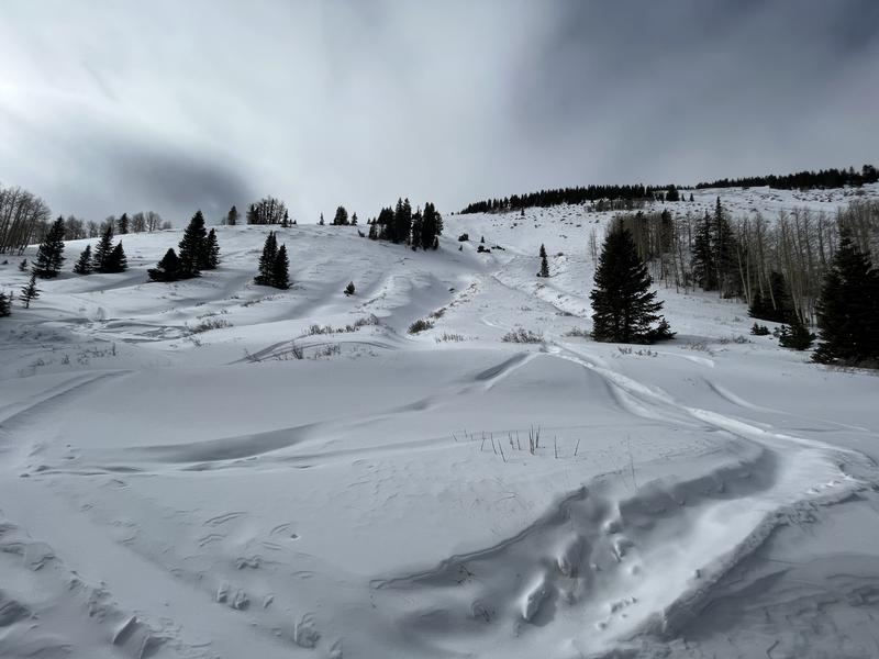
Conditons remain thin with uneven coverage. Note, however, areas with wind drifted snow on the leeward sides of ridge crests and gully walls. Wind drifts are recognizable by their smooth, rounded appearance, and cracking is a sign of instability.
Thin coverage on south and westerly facing slopes.