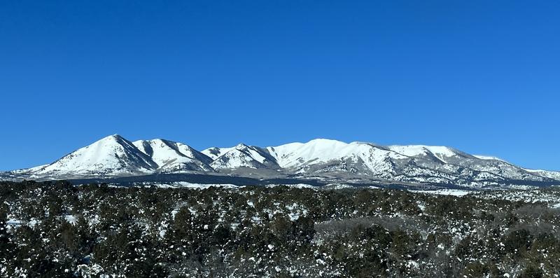
Forecast for the Abajos Area Mountains

Eric Trenbeath
Issued by Eric Trenbeath for
Monday, January 30, 2023
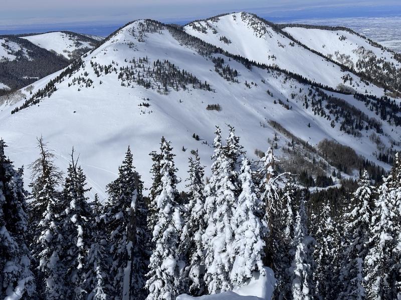
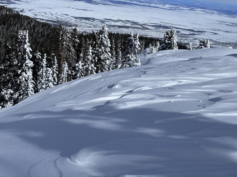
Human triggered avalanches remain possible on steep, wind drifted slopes at mid and upper elevations. On steep slopes with a northerly aspect, a triggered slab in the wind drifted snow may step down to a buried persistent weak layer causing a deeper and more dangerous avalanche. Avoid, steep, wind drifted slopes and thinner snowpack areas with very steep, radical terrain.
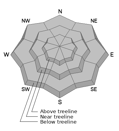
Low
Moderate
Considerable
High
Extreme
Learn how to read the forecast here
Weather and Snow
NWS Forecast for the Abajo Mountains
Snow totals and temps at Buckboard Flat (8924')
Snow totals and temps at Camp Jackson (8858')

Snowpack Summary and General Conditions
The Abajo Mountains are white with a snowpack exceeding 200% for this time of year. Camp Jackson has over 5' of snow on the ground with 1'-2' more at upper elevations around North Creek and Cooley Pass. In areas where the snowpack is more than about 5' deep, the snowpack has gained strength and the November persistent weak layer is now buried far below the surface. This weak layer cannot be discounted however, especially on steep northerly facing slopes and in thinner snowpack areas where it can be more easily affected by the weight of a skier or rider. Cory Noonan was up yesterday, and he found one such area where the underlying snowpack remains very weak, and stability tests indicate continued deep instability. See Cory's observation here.
Wind loaded slopes are also a concern as winds over the past several days have formed potentially unstable drifts on leeward slopes. Wind drifts are recognizable by their smooth, rounded appearance, and cracking is a sign of instability. In some areas, a triggered wind slab may step down to the buried persistent weak layer causing a deeper and more dangerous avalanche. Continue to avoid steep, wind drifted slopes.
Brody Levin was up in the mountains over the weekend and he reported great coverage, but with wind affected snow in exposed areas.
Excellent coverage exists in the Abajos. Brody Levin photo.
The snow surface has been wind affected in exposed areas. Leeward slopes are wind loaded with fresh drifts while exposed windward slopes are sculpted and crusted.
Additional Information
If you are getting out in the backcountry, we'd love to hear what you're seeing. Please submit observations here. For the most recent snowpack observations click here. You can also send an email to [email protected] or give me a call with anything noteworthy, especially avalanches! 801-647-8896
General Announcements
This forecast is from the U.S.D.A. Forest Service, which is solely responsible for its content. This forecast describes general avalanche conditions and local variations always occur.