Forecast for the Abajos Area Mountains

Eric Trenbeath
Issued by Eric Trenbeath for
Friday, January 26, 2024
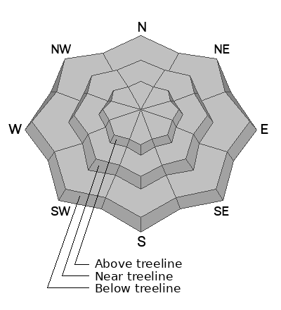
The likelihood of triggering an avalanche continues to decrease, but human triggered avalanches are still possible. A layer of weak, sugary, faceted snow is buried under a 1'-2' thick slab that formed during storm events over the past month. The danger is greatest on steep slopes facing NW-N-E. Avoiding slopes steeper than 30 degrees in these areas remains the safest strategy.
Low
Moderate
Considerable
High
Extreme
Learn how to read the forecast here
Weather and Snow
Only a couple of inches fell in the Abajos as a result of Thursday's storm and this won't affect avalanche conditions much. High pressure is settling in for the next several days and warmer temperatures should help consolidate and strengthen the snowpack but the foundation remains weak and sugary. Snowfall over the past several weeks has settled into a cohesive slab over this base of loose, weak, sugary, faceted snow. The odds of triggering an avalanche have decreased, but areas where you may still find trouble are on steep, wind loaded, NW-N-E facing slopes where slabs up to 2' thick exist over this buried weak layer. Looking ahead, we may see a return to an active weather pattern late next week. Any significant load of new snow will stress the buried weak layer, and we will see a rise in avalanche danger. For now practice safe travel techiniques, ride or ski slopes one at a time, and carry rescue gear - beacon, probe, shovel. Continue to excerise caution on steep, northerly facing terrain.
NWS forecast for the Abajo Mountains.
Snow totals and temps at Buckboard Flat (8924')
Snow totals and temps at Camp Jackson (8858')
General Announcements
This forecast is from the U.S.D.A. Forest Service, which is solely responsible for its content. This forecast describes general avalanche conditions and local variations always occur.