Forecast for the Abajo Area Mountains

Monday morning, January 11, 2016
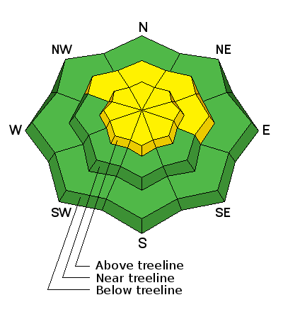
The avalanche danger is generally MODERATE but areas of elevated concern exist on steep slopes that face NW-N E where the new snow load from last Friday has added additional stress to buried weaknesses in the snowpack. In theses areas, it is possible for the additional weight of a rider to cause a deep and dangerous avalanche. An increase in northerly winds has also created a MODERATE danger for wind slab avalanches in upper elevation, wind exposed terrain. Avoid steep slopes that have recent deposits of wind drfited snow.

Special Announcements
The Abajo / Blue Mountain advisory provides detailed snow and avalanche information on weekends, with a generaly danger rating during the week. This advisory is based on field work performed, and observations received, over the weekend of Jan 9-10. It is to be used as a baseline for forming your own danger analysis over the next few days. Changing weather conditions can rapidly change the avalanche danger. Use the weather links under Current Conditions to stay abreast of wind, temperature and new snow totals. Barring a significant change in the weather, this advisory will be updated on Saturday, January 16.
Weather and Snow
Winds, temperature and humidity on Abajo Peak.
Snow totals at Buckboard Flat.
Additional Information
A ridge of high pressure will build over the Southwest and a dry, northwest flow will persist through midweek. A weak shortwave system will move through the area Thursday bringing a chance of snow through Friday. A weak, but short lived ridge builds again on Saturday with another storm system moving into the region on Sunday.
Today
Sunny, with a high near 25. North wind 10 to 15 mph.
Tonight
Mostly clear, with a low around 2. Wind chill values as low as -10. North northwest wind 10 to 15 mph.
Tuesday
Sunny, with a high near 24. Wind chill values as low as -15. North wind around 10 mph, with gusts as high as 20 mph.
Tuesday Night
Mostly clear, with a low around 13. North wind around 5 mph becoming calm after midnight.
Wednesday
Mostly sunny, with a high near 33. Light northwest wind becoming west 5 to 10 mph in the afternoon.
Wednesday Night
A 10 percent chance of snow after 11pm. Partly cloudy, with a low around 13.
Thursday
A 20 percent chance of snow. Partly sunny, with a high near 19.
Thursday Night
A slight chance of snow. Mostly cloudy, with a low around 10.
Friday
A chance of snow, mainly after 11am. Partly sunny, with a high near 18.
General Announcements
This advisory is from the U.S.D.A. Forest Service, which is solely responsible for its content. This advisory describes general avalanche conditions and local variations always exist.