
Week in Review [April 8 - 14]
A storm system entered the region this past weekend, with warm temperatures and a high rain/snow line on Saturday April 8th.
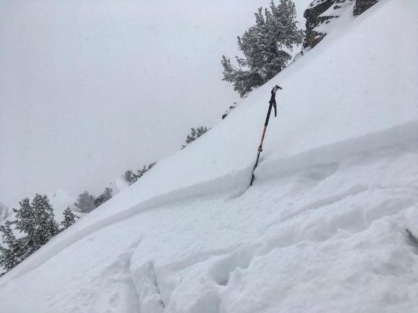
A cold front with an ample moisture supply late Saturday night and well into the day on Sunday provided nearly 18-24" in the Cottonwoods and Ogden mountains, with 8-15" along the Park City ridgeline. The Provo mountains recorded 3-6". Limited avalanche activity was reported with this storm, with a few slides breaking at a graupel interface of the old snow surface, or within a density inversion within the storm snow:
[Mark White photo]
Monday brought clearing skies, but cool temperatures kept wet activity to a minimum.
A short-duration wind event on Tuesday morning created pockets of wind drifts in isolated terrain, and a wind slab avalanche was triggered by a party of skiers hiking uphill at Snowbird Ski Resort.
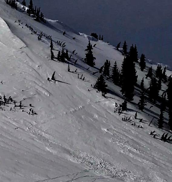
Another small wind drift was triggered in White Pine in Little Cottonwood canyon.
Warming temperatures highlighted Wednesday and Thursday, but wet activity was minimal.
A dry cold front entered the region Thursday evening, providing a solid refreeze of the snowpack by Friday morning.


