
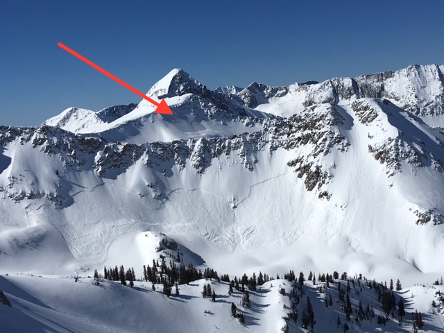
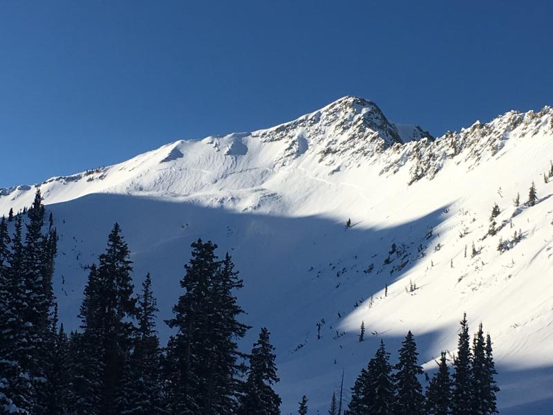
Snowfall Friday and Saturday Feb 10/11 deposited 10-20" in the Salt Lake mountains with over 2" of water equivalent. Avalanche activity on Saturday included sensitive storm and wind slabs, as well as sluffing within the storm snow, with several human-triggered avalanches reported from the backcountry. Two notable natural avalanches in upper White Pine Canyon also occurred over the weekend. These were likely caused by natural cornice falls and triggered large storm slabs that failed on a layer of graupel down about 12-18". [Photos Hardesty/Pease]
Fresh wind slabs from a period of easterly winds and continued sensitivity in the storm snow led to additional human-triggered activity on Sunday of mostly small to medium-sized avalanches.
Sunday also marked the beginning of an extended period of warm high pressure with several loose wet avalanches on solar aspects earlier this week. Also the clear skies this past week has led to a considerable weakening of the snow surface where the top 2-6" has turned to weak faceted snow where there were several reports of sluffing on steeper northerly aspects. Observations from Thursday were finding fresh, sensitive wind slabs now sitting on top of the weaker faceted snow.


