Unfortunately, the cold powder from the last storm is a thing of the past but what a treat that storm was!! I'd like to take a look back at how things shook out from my perspective.
Wednesday, March 20:
4 to 5" of new snow in 24 hours. Mild temperatures to start with a cooling trend.
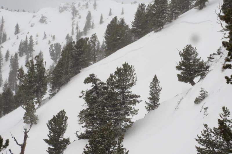
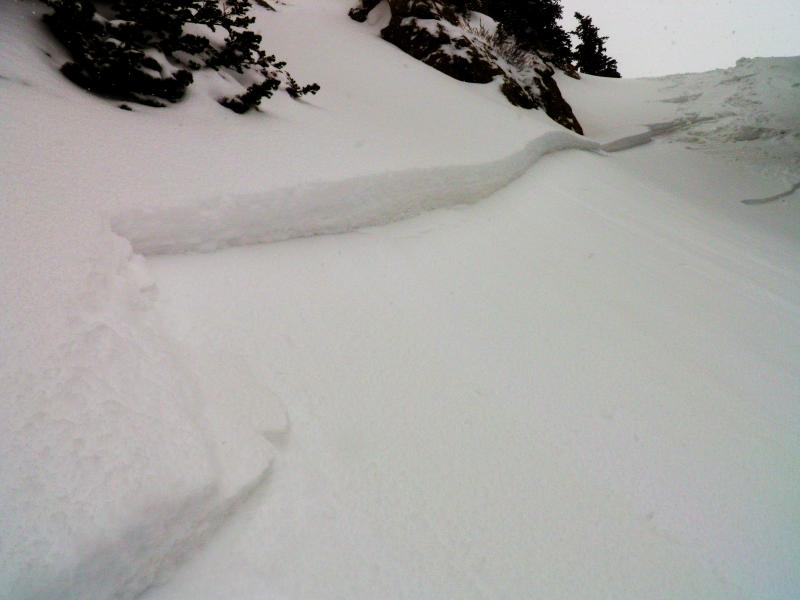
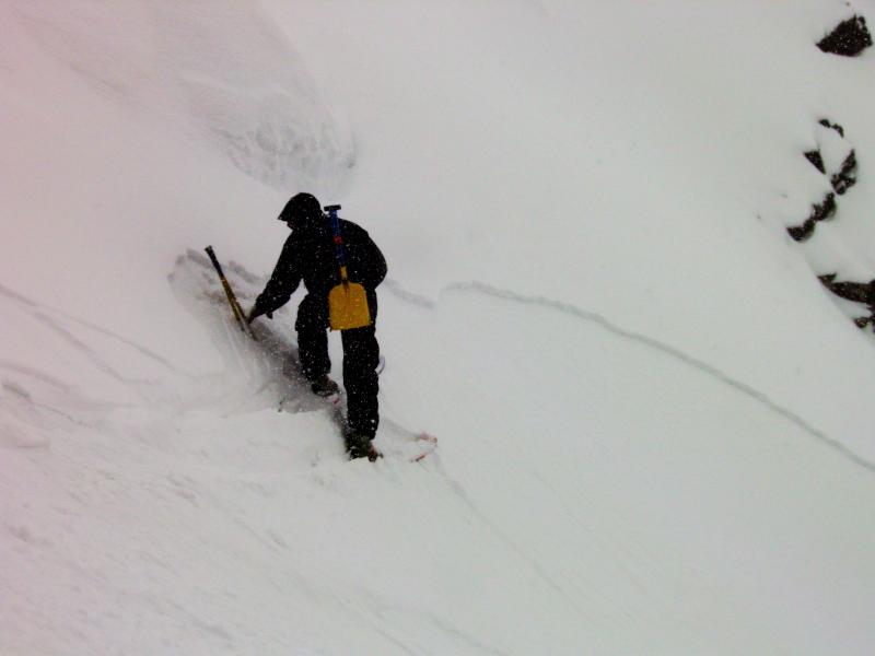
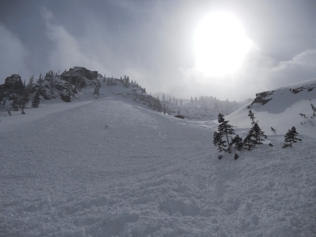
The storm was just starting to get going mid day and produced the high end of the forecast amounts for the day in the upper elevations. Temperatures were mild with the rain/snow line pushing 8000 feet. It was difficult to identify just how the new snow was bonding in areas where it hadn't stacked up a whole lot but there were signs that things wanted to crack and that the bond was somewhat poor. This was confirmed in an area which had drifted in to about 8" deep where a skier triggered an avalanche that broke out 150 feet wide or so in Upper Days Fork. Riding conditions were improving.
Weather models indicated very cold and unstable air would move in through the weekend with some periods of snow but it didn't look all that impressive for snow totals at that point. The key here was the cold unstable air lingering through the weekend. This could potentially preserve the riding conditions for a couple of days.
Thursday, March 21:
Up to 7" of new snow in the 24 hour period mainly coming in the morning during some lake enhanced snowfall. Wind speeds increased.
As I was compiling the advisory Thursday morning, a nice "lake band" formed producing a great shot of snow with temperatures continueing to drop and snowfall reaching the valley floor. Observations started coming in from the backcountry that the new snow was quite active and it was easy to trigger fresh soft slabs along the ridges where there was some wind effect. As with new snow a lot of the time, this instability "settled out" quite a bit by the end of the day but wouldn't be quite healed all the way.
Photo: Keyhole - Cardiff Fork, Mark White
Friday, March 22:
Up to 12" new snow in the 24 hour period with snowfall most of the day. Temperatures continue to drop, winds decrease a bit but were still a bit annoying along the ridges.
The unstable air that the weather models had been advertising was doing the trick for us with enough moisture to produce a few inches of new snow early in the morning and then steady snowfall for most of the day with a few periods of heavy snowfall. It quickly became obvious that the few new inches of snow was once again sensitive but perhaps not quite as much as on Thursday.
Photo: again, Keyhole - Cardiff Fork, Mark White
The heavy snowfall periods lasted just long enough to hint that things were going to start getting active but never pushed it over the edge. While the winds were blowing along the ridges, fresh wind slabs didn't become overly concerning. Riding conditions were excellent at this point!! Settled snow totals were in the foot plus range in the more favored locations.
Saturday, March 23:
Continued cold unstable air produces a good amount of cloud cover and "instability showers" stack up another 3 to 5" of new snow.
Saturday was where the cold unstable air was really helping keep the riding conditions excellent. Overnight lows were COLD with a reading of -10F at Silver Lake in Big Cottonwood Canyon! Many locations were in the low single digits. This is not all that common for a late March storm.
Avalanche conditions were what we call "manageable" for those with good avalanche experience as the soft slabs were still a little sensitive but fairly predictable as they would mostly break at your feet and we knew they wouldn't be any deeper than the new snow. Lots of people were out enjoying the powder and a number of them triggered pockets that were taking out all of the storm snow.
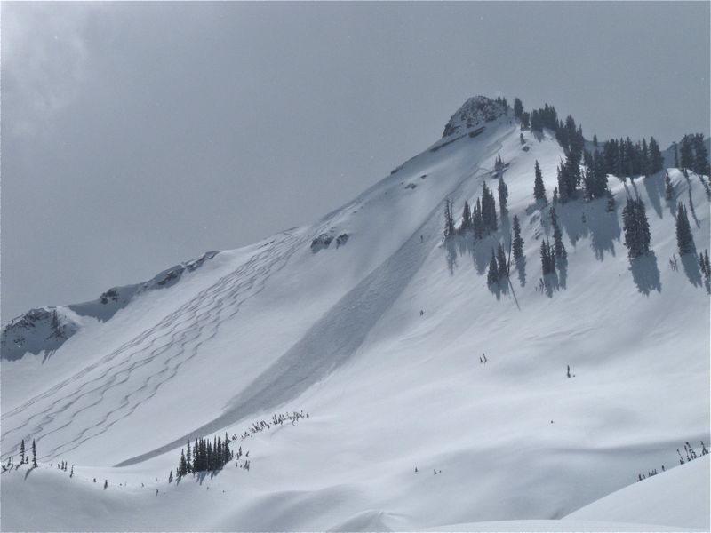
Photo: Little Superior, Cardiff Fork, Kobernik
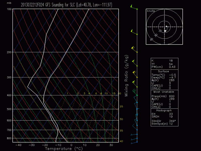
Below is the model forecast sounding (skew t diagram) for Saturday showing the unstable air that was the key to this epic 5 days of powder. This is produced by Jim Steenburg of the University of Utah. Be sure to check out his model outputs which are by far the best in my opinion for our area: U of U Weather Models
Sunday, March 24:
The cold unstable air continues to provide enough cloud cover and some light flurries to preserve the excellent riding conditions!!
Temperatures warmed slightly from Saturday but still stayed unseasonable cold for this time of the season. Lots more people were out and about skiing and riding all kinds of lines. Avalanche conditions continued to be manageable but there was still some lingering instabilities with a few good sized pockets triggered.
Photo: Mill B South
Monday, March 25:
The fun came to an end mid day as warm temperatures finally had their way with the cold snow.
The day started out promising with some increasing cloud cover and some light flurries. This wouldn't be enough to hold off the warm air advection that would make the snow become damp and start to make it unstable. By around 11am, southeast aspects were damp, east had "gone off" by around 11:30am and northerly aspects up to near 10,000' were done by around 12:30pm.
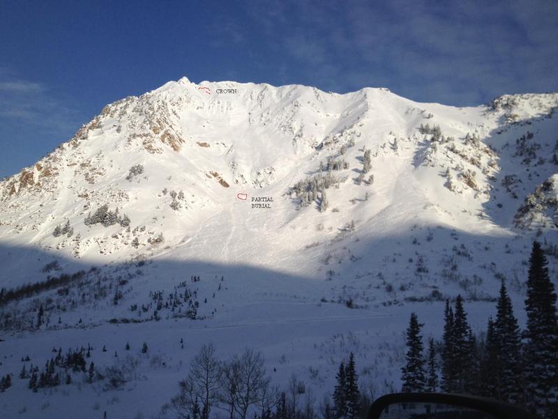
A skier triggered a soft slab and was caught, carried, and partly buried on the sun effected southeast face of Mt Superior at around 11:30am.
Photo: Mt Superior - Little Cottonwood, Garske
Enough cloud cover held off the heat enough to where the snow didn't become seriously unstable although there was some loose wet snow avalanches on the southerly facing slopes.


