Observer Name
Nick Wilkes
Observation Date
Saturday, January 21, 2017
Avalanche Date
Saturday, January 21, 2017
Region
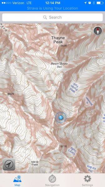
Salt Lake » Mill Creek Canyon » Porter Fork » West Porter
Location Name or Route
West Porter
Elevation
9,300'
Aspect
Northeast
Slope Angle
40°
Trigger
Natural
Avalanche Type
Soft Slab
Avalanche Problem
New Snow
Weak Layer
New Snow
Depth
Unknown
Width
Unknown
Vertical
Unknown
Comments
Our party of 3 was ascending to the upper reaches of West Porter just after noon. Noted density inversion/upside down in the top 12" of snow. During high PI rate period around noon we saw multiple small naturals about 4" deep within the new snow. Red flags mentally noted.
Rather than cross under a steep open slope to reach the saddle at 9500' we opted to convert in the trees about 300' below saddle. Looking upslope we saw what looked like a sluff coming downslope directly at us. It grew in size and turned out to be a natural that we believe pulled out from the headwall/cliffband above. We were not able to inspect the crown/trigger point as it was uphill out of view.
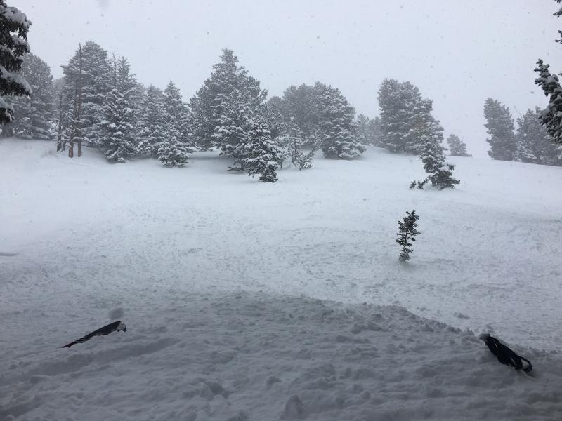
2 of 3 members were able to grab ahold of trees for safety. No members caught or carried. Backpacks, skis, snowboard, poles were buried and had to be dug out.
Ski poles buried up to grips (see pic below). Slide ran approx 100' feet downslope past us. Enough snow to knock you off your feet and bury a rider in a terrain trap.
Even though the trees we were in seemed to be somewhat tight, we noticed after the slide that they were significantly "flagged".
Good lesson in always knowing what is above you and staying out from under steeper slopes.


Coordinates


