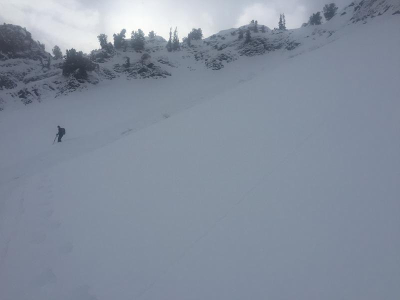
We were skinning up Barrieto in Mineral Fork, near the top of the run. There were no red flags of instability, and no new sluffs. There was about 4" of very light new snow from the last few days. We noticed a narrow slide path down the center of the run from a previous sluff several days ago, under the new snow, with poor bonding of the surface layer. There were occasional brief gusts of wind coming across the ridge line above us, with just a few inches of very light new snow on the rock band at the very top, on Peak 9981. As we approached our top out point near the bottom of the rock band, a very small sluff came down the 60 to 70 degree rock band. It slowly propagated the new snow below the rock band, on the old bed surface. It caught and slowly carried one member of our party, on top of about 18" of moving snow, for about 300 vertical feet down the slope. He was not injured or partially buried, and merely stood up once he stopped. Fortunately we had been careful to travel spread out, and to avoid traveling above hazards that we could have been carried into. Just like the forecast said "low hazard doesn't mean no hazard".
- Forecaster note: uncertain from description if this is a natural avalanche, rather than remotely triggered.


