Nowcast - The Uinta weather network is back up and running this morning, just in time for incoming weather. As of 0500 AM, mostly cloudy skies are paired with warm trailhead temperatures ahead of the storm, in the low 30's, while upper elevation stations average around 25°F. Up high, winds crank from the southwest in the 20's with gusts surpassing 50MPH at some stations, bringing windchill temperatures down into the single digits.
Forecast - Expect the weather to deteriorate as the day progresses, but the storm system should arrive just after breakfast. Temperatures remain in the 20's while southwesterly winds continue blowing strong, in the 20-30 MPH range, gusting into the 40's. Expect the rain/snow line to start around 7,000' with accumulation becoming noticeable early this afternoon. By sunset, I am hopeful we could see 3-5" on the ground at upper elevations.
Futurecast - Snow continues through tomorrow into Monday. The Uintas are looking at a real good shot of snow and water here, and with some luck, we might squeeze out 12-14" of snow with over 1" of snow water equivalent. Major accumulations tail off Monday night, but things continue to look active throughout the week.
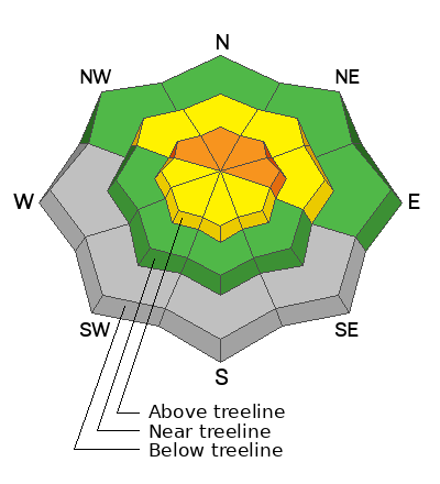
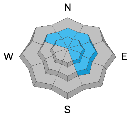
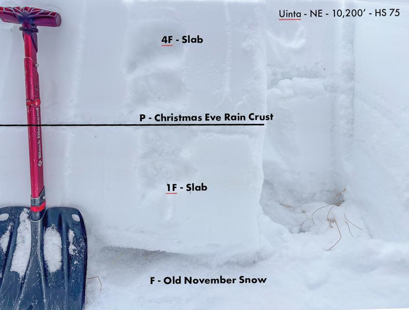
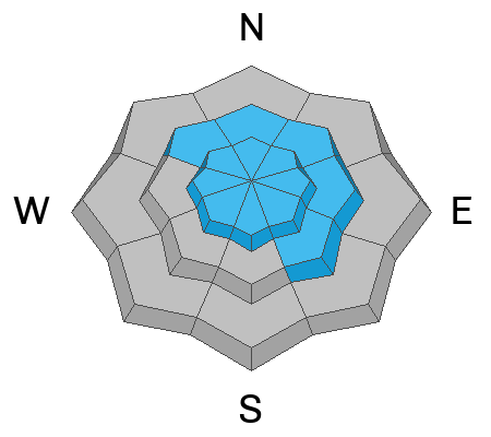
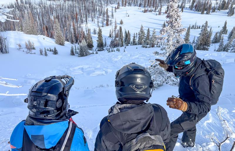
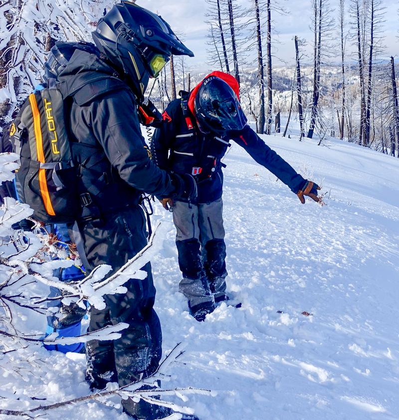
Travel Conditions - In general, travel in the Uintas is decent with supportable snow depths ranging from 2-4'. The Christmas Eve raincrust keeps us off the ground, bridging the gap between trees, rocks, stumps, and good powder riding. Upper elevation slopes on the north half of the compass continue to hold the best snow, while sunny, solar aspects are wind stripped and very thin. My greatest concern aside from avalanches is smoking my sled or skis off of rocks, stumps, or trees, anything underneath our shallow snowpack that could bring my season to a quick end. And yes, SR-35 is still open to Wolf Creek Pass.
From glassy tree branches to a crispy snow surface, certain parts of the range got stuck in the clouds and saw a decent riming event (photo via Trevor K)!
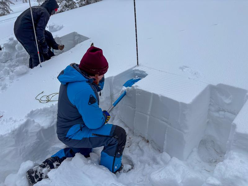
No new avalanche activity has been reported in the past 24 hours, but check out some travel observations and old avalanches by clicking on the button below.