TONIGHT at Brighton in partnership with the Brighton Ski Patrol, we'll be giving a free avalanche awareness presentation focusing on why shallow snowpack winters, just like this year, are so dangerous. The talk begins a 5 p.m. in the Alpine Rose building on the 3rd floor.
Do you have all the gear you need? Check out the UAC’s online marketplace and auction for deals on resort passes, skis, packs, airbag packs, beacons, snowshoes, soft goods and much more. The auction closes at 6PM on December 28.
As of 6 a.m. 8 inches of snow had fallen in upper Big Cottonwood Canyon and 5-6 inches in most other areas with more coming. Temperatures were in the upper teens and low 20s F. Winds at ridge tops were averaging 20 mph from the W with gusts of 30 mph. Above 10,000 feet wind gusts were reaching 40-50 mph. Low level, warm air kept valley locations south of Salt Lake City dry this morning despite snowfall in Bountiful and valley areas further north.
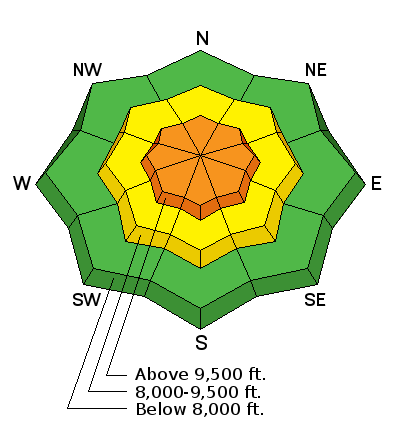
The snowpack is still generally 1-2 feet deep, slighty deeper on high elevation northerly slopes and much shallower on south facing slopes. Many rocks are barely covered and remain a significant hazard.
Week in Review
> Saturday Dec 16 the Wasatch mountains picked up a trace to 2" of very low-density snow.
> Quiet weather Sunday through Tuesday.
> Strong south and southwest winds on Wednesday ushered in a cold front that arrived late Wednesday afternoon. Storm totals by Thursday included:
- Provo mountains : 3" of snow (0.3" water)
- Central Wasatch : 4-9" of snow (0.3 - 0.4" water)
- Ogden mountains : 2-5" of snow (0.05 - 0.25" water)
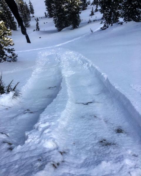
A few shallow wind slabs were triggered by ski patrollers in Big Cottonwood Canyon yesterday on North aspects at 9600 feet. These wind slabs were resting on weak, faceted snow and entrained faceted snow as they ran downhill.