As of 5 am, 24-hour snow/water totals are 2-4 inches of snow with nearly an inch of water, although I suspect water numbers are higher than what instrumentation is reporting.
Winds are from the west/southwest and sustained, averaging in the teens and 20's mph (perfect wind speeds for creating fresh wind drifts) with overnight gusts in the 30's mph along exposed mid and upper-elevation ridgelines. 11,000 foot gusts are in the 50's mph. Temperatures range through the 20's °F.
For today, expect periods of heavy snowfall this morning and moderate to strong winds, with another 4-8 inches of snow expected. Snowfall rates will be the highest this morning, before tapering to snow showers this afternoon. Temperatures will rise into the upper 20's °F.
After a short break, another storm is expected later Wednesday. This will be a more traditional storm featuring colder temperatures and lower-density snowfall.
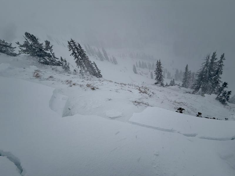
We've received no reports from the Provo mountains for several days, but on Sunday afternoon to our north in the Salt Lake mountains, a party on the ridgeline above Two Dogs in Days Fork unintentionally released a cornice onto the slope below which triggered an avalanche that initially failed above the Christmas rain crust (CERC) layer, but stepped down to facets and depth hoar at the ground. The slide was on a northeast-facing slope at 10,100 feet and was 4.5 feet deep, 250 feet wide, and ran 700 feet, snapping trees along the way. With a similar snowpack structure in the upper elevations of the Provo mountains, avalanches failing on the persistent weak layer down near the ground are possible.
Read all backcountry observations here.