25th Annual Black Diamond Fall Fundraising Party
Thursday, September 13; 6:00-10:00 PM; Black Diamond Parking Lot
25th Annual Black Diamond Fall Fundraising Party
Thursday, September 13; 6:00-10:00 PM; Black Diamond Parking Lot
| Advisory: Uintas Area Mountains | Issued by Craig Gordon for Thursday - March 23, 2017 - 3:46am |
|---|


|
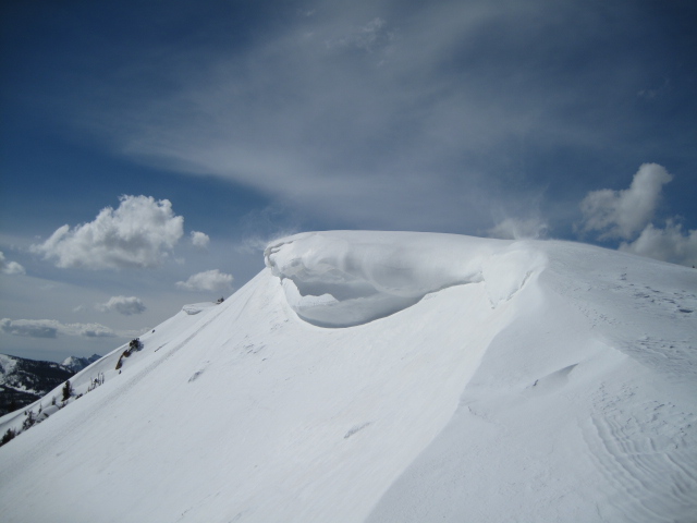
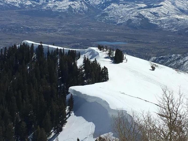
bottom line A MODERATE avalanche danger exists today on all aspects and at all elevations. Human triggered avalanches are POSSIBLE on all steep slopes, especially those in upper elevation terrain which received the most snow overnight. Once triggered, toady's slides may fan out, entraining more snow than you might expect.
|
 |
current conditions Finally, some fresh snow to talk about... well almost. A moist, cold system is just starting to settle over the region and the rain/snow line looks like it hovers right around 8,500. Overnight, upper elevation terrain received 4" of dense, heavy snow while the trailheads saw light rain. Temperatures are just starting to cool off into the mid 20's and low 30's. No reason to rush out the door this morning, riding and turning conditions will continue to improve as the day wares on.
Real time wind, snow, and temperatures for the Uinta's are found here Snowpack observations and trip reports are found here. |
 |
recent activity No significant avalanche activity to report from yesterday. A full list of Uinta avalanche activity is found here. |
| type | aspect/elevation | characteristics |
|---|

|

|
LIKELIHOOD
 LIKELY
UNLIKELY
SIZE
 LARGE
SMALL
TREND
 INCREASING DANGER
SAME
DECREASING DANGER
|
|
description
The new snow came in warm and wet and will bond well to the old snow surface and that's good news. However, I think this fresh coat of white paint will act as an insulating layer, keeping heat in the damp, spongy snowpack. So todays avalanche dragon still has damp snow characteristics. This means that once triggered, a shallow slide may gouge into loose, wet snow as it descends the slope below, resulting in a larger slide that you might expect. It's an easy avalanche problem to deal with by simply avoiding steep slopes, especially if they have that "trap door" unsupportable feeling. In addition, you'll wanna avoid terrain traps like gullies and road cuts where tree snapping, cement-like debris can stack up very deeply. |
| type | aspect/elevation | characteristics |
|---|

|

|
LIKELIHOOD
LIKELY
UNLIKELY
SIZE
 LARGE
SMALL
TREND
 INCREASING DANGER
SAME
DECREASING DANGER
|
|
description
|
 |
weather Snow continues for much of the day and may be heavy at times through early afternoon, before tapering off this evening. Storm totals should be right around a foot by Friday morning. Early morning winds will be light and variable, then switch to northwest wind and strengthen this afternoon, gusting into the 30's and 40's along the high ridges. High temperatures climb into the low 30's and dip into the 20's overnight. A break for Friday with a quick hitter slated to roll through the region Saturday.
|
| general announcements Remember your information can save lives. If you see anything we should know about, please participate in the creation of our own community avalanche advisory by submitting snow and avalanche conditions. You can call me directly at 801-231-2170, email [email protected] The information in this advisory is from the US Forest Service which is solely responsible for its content. This advisory describes general avalanche conditions and local variations always occur. The information in this advisory expires 24 hours after the date and time posted, but will be updated by 7:00 AM on Friday March 24th. |