Observation: Maple Hollow

Observation Date
3/18/2018
Observer Name
Toddeo
Region
Southwest » Pahvant Range » Maple Hollow
Location Name or Route
Pahavant Foothills - Maple Hollow
Weather
Sky
Obscured
Precipitation
Light Snowfall
Wind Direction
West
Wind Speed
Light
Weather Comments
Valley cleared out but high country stayed socked in most of the day, cleared late afternoon.
Snow Characteristics
New Snow Depth
5"
New Snow Density
Medium
Snow Surface Conditions
Powder
Snow Characteristics Comments

5" at 7,000'. Settled out quick on aspects that were not holding old snow.

Red Flags
Red Flags
Poor Snowpack Structure
Red Flags Comments
No red flags observed today but I only made it to 7,000'. I assume that the snow pack is still weak up high on northerly aspects.
Avalanche Problem #1
Problem
Normal Caution
Trend
Same
Problem #1 Comments

At the lower elevations normal caution is warranted.

Avalanche Problem #2
Problem
Persistent Weak Layer
Trend
Same
Problem #2 Comments

Based on what I saw in the snowpack before I left for over 2 weeks, I would assume that the facets on northerly aspects above 8,000' have not healed. Lower elevation facets (<7,500' ?) are wet based on the snow profile below.

Of concern is that by this time of the year we are typically dealing with new snow related hazards, This year is different and warrants extreme caution.

Snow Profile
Aspect
North
Elevation
7,000'
Slope Angle
40°
Comments

HS = 16", HST = 5". 7" of new snow siting on a stout crust. This is the same crust (pencil +) that has allowed travel at the lower elevations in February. The underlying facets are significantly wetter then they were last month (I have not been here since Feb. 25th)

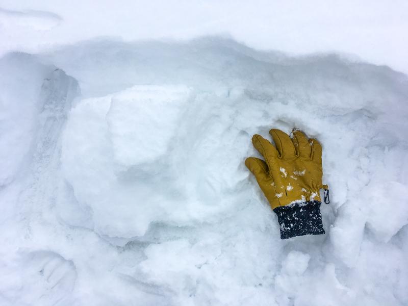
There is a slight crust (above glove) below todays new snow that formed on top of snow from the previous storm (March 14th?) (glove is pointing to this layer).

Photos below:

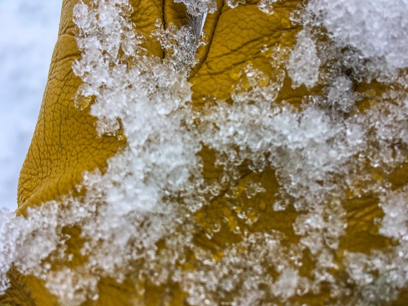
1. Wet rounded facets.

2. ECTN results above crust.

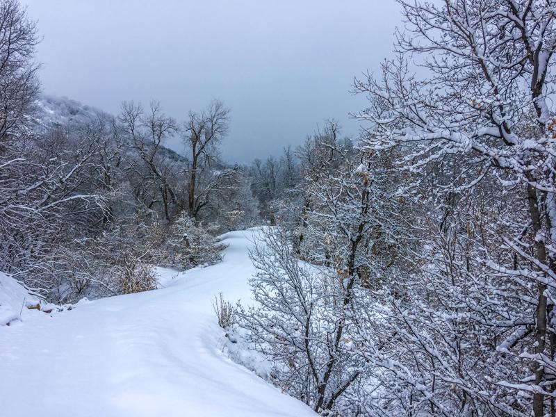
3. High country obscured by clouds.

SW Utah Snotel storm totals:

Pahvants:

Pine Creek: 8"

Bob's Hollow: 3"

Tushers:

Big Flat: 6"

Kimberly Mine: 8"

Merchant Valley: 3"

Eagle Point Resort: 7"

Brian Head:

Webster Flat: 4"

Midway Valley: 4"

Brain Head Resort: 9"

Overall I would guess/assume a considerable hazard in the high country based on new snow and underlying facets. I have been out of town and did not get into the high country today.

Skyline is rated as high today, this is the nearest forecast zone:

https://utahavalanchecenter.org/advisory/skyline

Today's Observed Danger Rating
Considerable
Tomorrows Estimated Danger Rating
Considerable