Donate to Our Spring Campaign or Bid on our Spring Auction to Support Forecasting

Forecast for the Abajos Area Mountains

Dave Garcia
Issued by Dave Garcia on
Wednesday morning, March 19, 2025
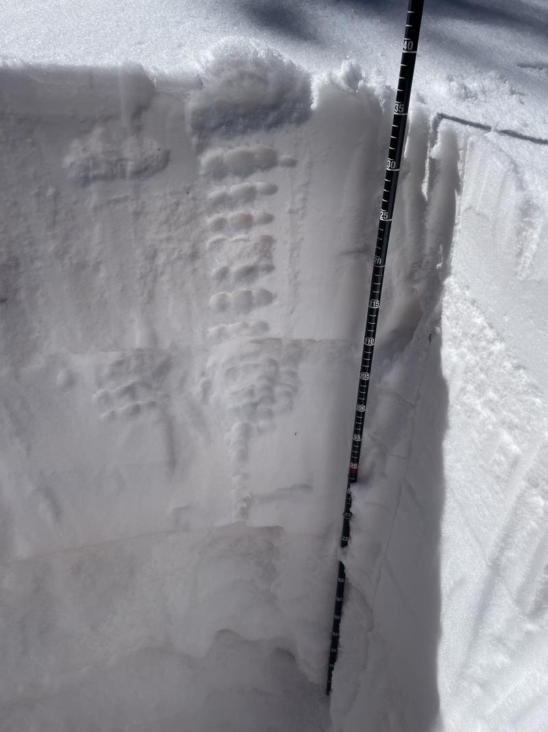
The Abajos have picked up four inches of new snow from Tuesdays quick hitting storm. The real story is the wind. Strong winds from the SW and then NW have blown and drifted the new snow. It can be surprising how only four inches of snow and strong winds can quickly increase the avalanche danger. The snowpack has remained shallow and weak all season, and the recent drifts are forming above very weak layers. The most dangerous slopes face north through east.
Low
Moderate
Considerable
High
Extreme
Learn how to read the forecast here
Weather and Snow
The Abajo mountains still suffer from thin snowcover, and off trail recreation is difficult. What snow exists is poor in structure meaning that a dense slab exists over weak, sugary, faceted snow. See this observation from March 8. This stucture exists on northerly aspects that have held snow all season, and human triggered avalanches are possible in these areas. Sunny aspects have very thin snowcover and grass is still poking out in most areas.
Photo illustrates poor snowpack structure with strong snow over top of weak, sugary, faceted snow. Photo courtesy of Carrie, Cory, and Matt.
Photo of an Extended Column Test illustrates the snowpack's propensity for human triggered avalanches. Score was ECTP22.
Use these links for current weather conditions.
NWS forecast for the Abajo Mountains.
Snow totals and temps at Buckboard Flat (8924')
Snow totals and temps at Camp Jackson (8858')
General Announcements
This forecast is from the U.S.D.A. Forest Service, which is solely responsible for its content. This forecast describes general avalanche conditions and local variations always occur.