Join us at our 2nd Annual Blizzard Ball

Forecast for the Skyline Area Mountains

Brett Kobernik
Issued by Brett Kobernik on
Tuesday morning, January 14, 2025
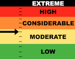
The overall danger rating is the upper end of MODERATE today on the Manti Skyline.
There is still a chance that a person could trigger an avalanche that breaks into early season buried sugary faceted snow. The chances are low but the consequences could be severe.
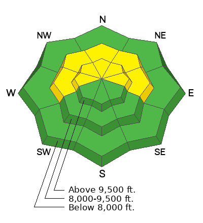
The most likely spots where you may trigger an avalanche are on slopes steeper than 30˚ above 8000 feet that face west, north, and east but especially northeast.
Low
Moderate
Considerable
High
Extreme
Learn how to read the forecast here
Special Announcements
GET TEXT MESSAGES about changing avalanche conditions and avalanche warnings. Sign up and update your preferences HERE.
FREE AVALANCHE AWARENESS PRESENTATION!!
Big Pine Sports
340 N Milburn Rd, Fairview, UT 84629
Tuesday, January 14th, 7pm
Weather and Snow
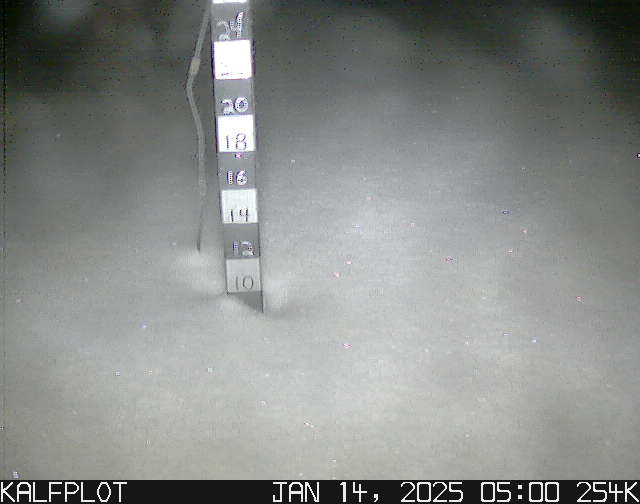
Current Conditions: We squeaked out another 3" of new snow late Monday afternoon. This brings totals since Saturday in the central Skyline up to just over 10". Temperatures have remained cold with highs on Monday only in the low teens and overnight lows back into the single digits. Wind increased slightly Monday afternoon from the northwest. It felt just a little breezy along the highest ridges with minor snow transport.
Mountain Weather: We'll see only scattered clouds today with high temperatures into the mid to upper teens. Wind should remain generally light from the northwest. The rest of the week looks clear with warmer temperatures. The next chance for snow is a very minor storm event on Saturday that might bring a trace of snow. The longer term looks bleak with really no storms until the end of the month.
Ad
Avalanche Problem #1
Persistent Weak Layer
Type
Location
Likelihood
Size
Description
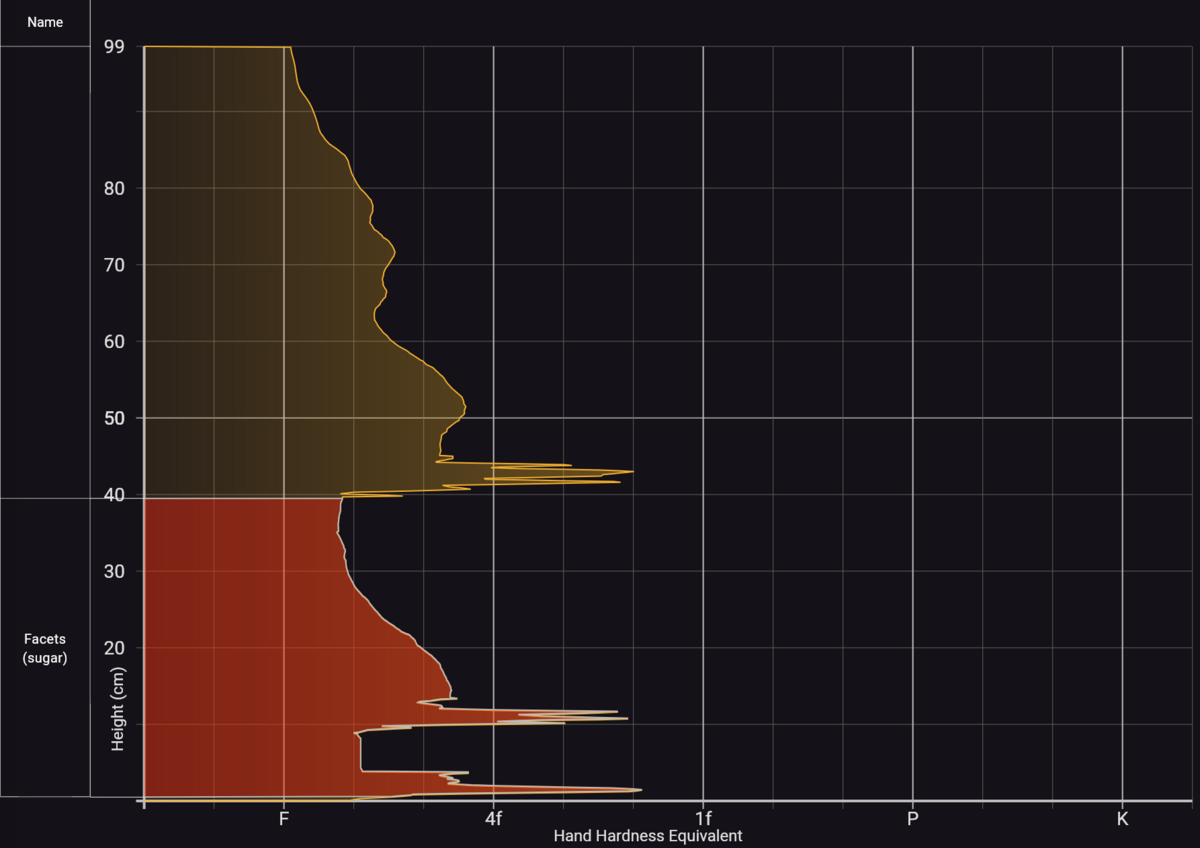
The biggest concern today is the chance for triggering an avalanche that breaks into early season faceted snow deeper in the snowpack. This weak snow formed in November and December is buried by about 2 feet of snow that's accumulated since Christmas. It has slowly stabilized and is not as reactive as it was a few weeks ago. We haven't had any human triggered avalanches (that I know of) in the last 10 days. Collapsing (whumpfing of the snow under you) is becoming less common. Most stability tests are non-reactive. But the sugary facets remain at the bottom of the pack. See Chris Magerl's observations from Monday. DETAILS HERE.
So, chances for triggering an avalanche are not all that likely but if you do trigger one, it's going to break a couple of feet deep. With that much snow, it doesn't take a very large avalanche to injure or kill someone. Personally, I'm avoiding steep northerly facing terrain until the old faceted snow has gained more strength.
Image below: poor snowpack structure in Little Pete's Hole, 9800', northeast facing.
.
General Announcements
This forecast is from the U.S.D.A. Forest Service, which is solely responsible for its content. This forecast describes general avalanche conditions and local variations always occur.