Skies are overcast with this next storm overhead. This isn't exactly true - the storm is splitting apart and "split' in my book is a four letter word. Still, we'll aim to pick up perhaps a trace to two inches by nightfall. Temperatures are in the the upper teens to low 20s. Winds are generally light, although anemometers at 11,000' are showing wind speeds of 25-30mph from the west-northwest.
Skiing and riding conditions were pretty darn good after Saturday's storm that put down 1-2 feet of snow in the Cottonwoods and 5-10" along the PC ridgeline but a rime event yesterday afternoon may be something to contend with today. Rime, of course, is the deposition of super-cooled water droplets via a conveyor belt on the clouds. This deposition, a rime crust, can be wafer-thin or, well, brutally thick. You'll have to let me know what you find.
For today, we'll have occasional snowfall, light westerly winds and temps in the upper teens to mid-20s. Winds shift to the northeast tonight and become moderate to strong. A fast moving system is slated for Wednesday night that'll bring cooler temps and strong winds but little to no accumulation. Another storm is possible for the weekend.
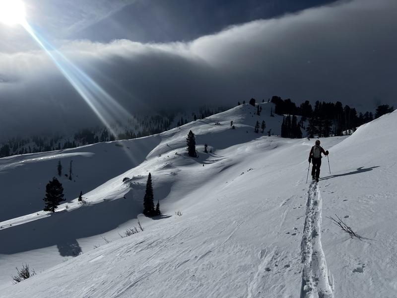
photo from yesterday - Gagne and Johnston
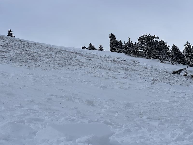
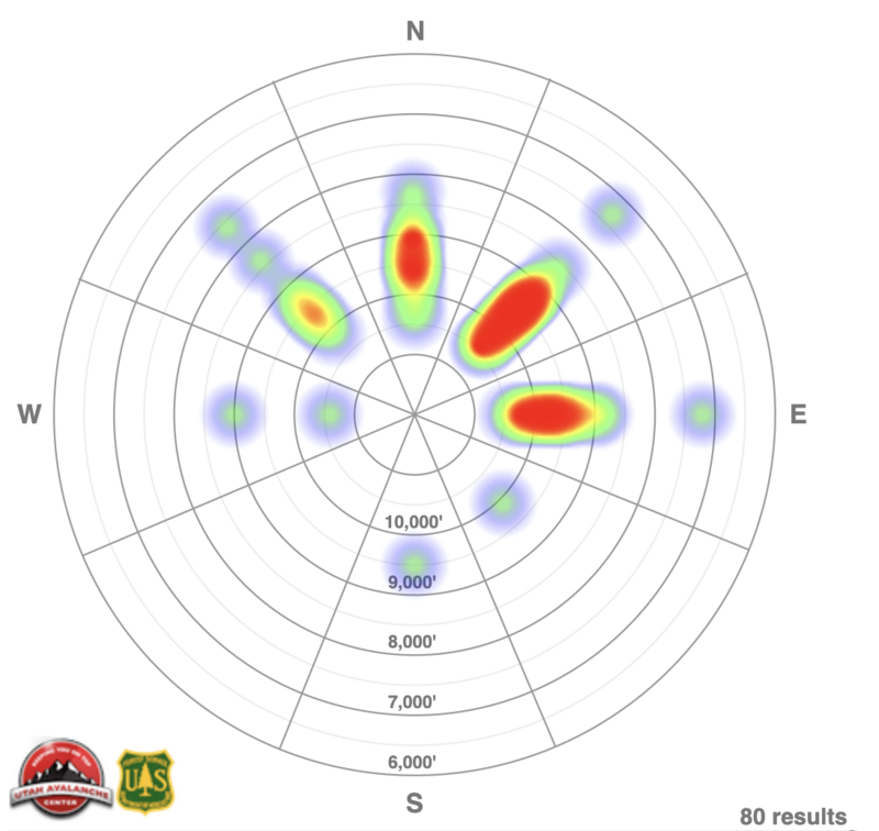
Yesterday, there were reports of continued collapsing and cracking from backcountry travelers. We continue to get observations of remotely triggered avalanches failing on the buried facets (photo below). Ski area operations reported mixed results with control work but positive results include an 6' deep crown in upper LCC. Check out all observations and avalanches
HERE.
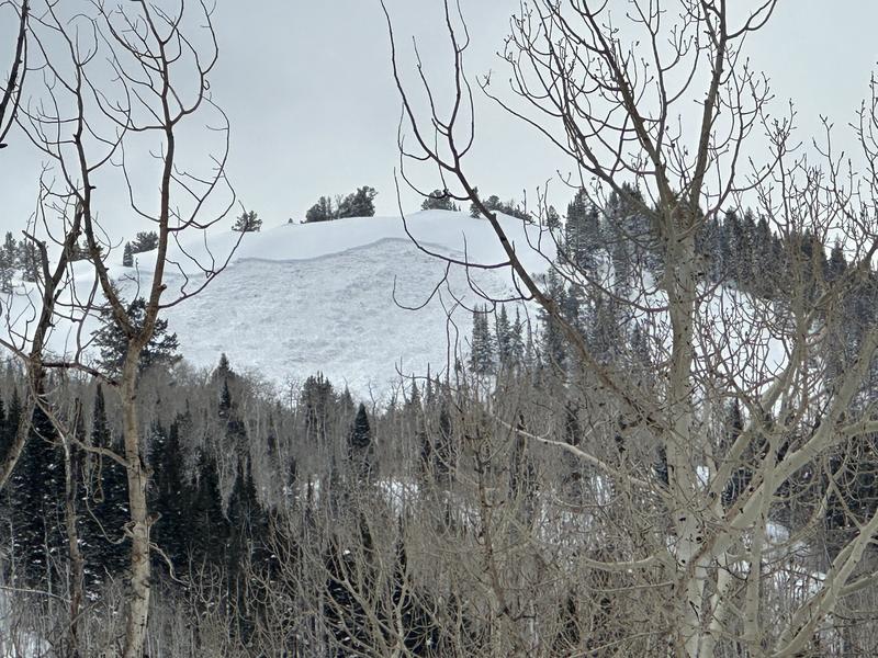
Photos (Pressman) of a remotely triggered avalanche yesterday by another party on a northeast facing slope at 9,300'. This large avalanche just north of the
Ant Knolls on the Wasatch Back (upper Snake Creek) was triggered from below and pulled out 2-3 feet deep and 150 feet wide, ripping out to near the ground.


