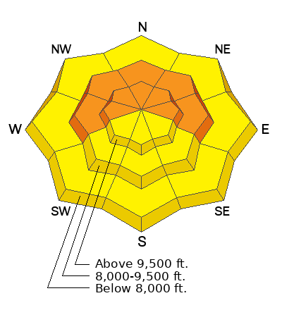
Skies are mostly cloudy but trending clear. Mountain temperatures are in teens to low 20s. Many anemometers are rimed, but the old lick-the-finger-and-hold-it-aloft trick hints at wind speeds of 10-15mph with gusts to 20mph out of the northeast. The highest ridgelines are likely double that. Amid all the riming, the mountains managed to squeeze a trace to two inches overnight on top of a trace to two yesterday. Many observers felt like they were wandering around in the fog.
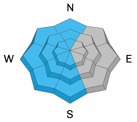
For today, we'll have partly cloudy skies, temps in the teens and increasing winds from the east northeast. I've often found the models to sandbag (underplay) the windspeeds from the east and northeast, so keep an eye on more blowing and drifting snow than expected.
Another quick hitting storm arrives Wednesday night that should be more wind than snow with another storm on the horizon over the weekend.
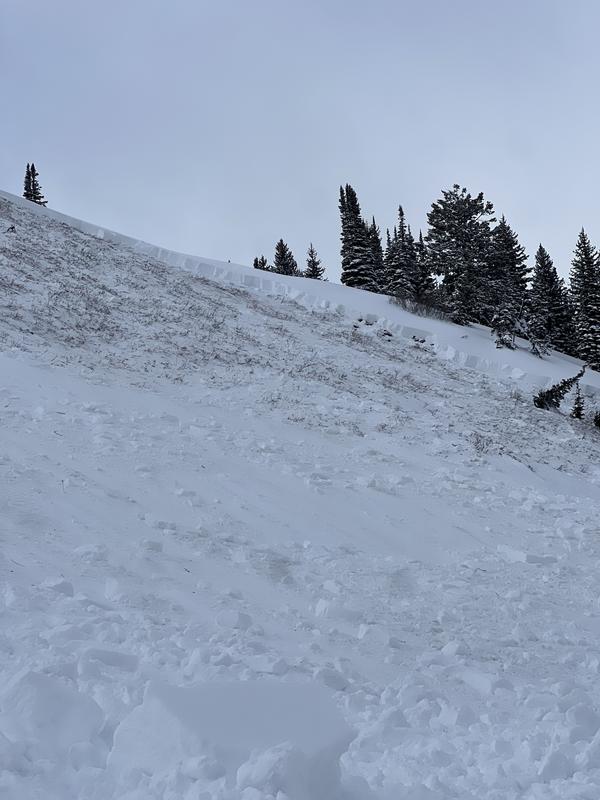
Pro observer Will Ambler noted a fresh looking natural hard slab release (9800' East facing) in upper
Red Pine of LCC yesterday. I suspect it may have been triggered by cornice fall from above. Over along the Park City ridgeline, avalanche teams noted a fresh looking avalanche in upper McDonald Draw on a steep northeast facing slope at 9700' (
Nutty Putty), 2-3' deep and 300' wide. Trigger and timing unknown. Otherwise quiet.
Nikki and Greg went into Yellowjacket Gulch of Porter Fork and their excellent report is
HERE>