Join us at our 2nd Annual Blizzard Ball

Forecast for the Uintas Area Mountains

Andrew Nassetta
Issued by Andrew Nassetta on
Sunday morning, December 22, 2024
Today’s avalanche danger is LOW on all aspects and elevations, meaning both human-triggered and natural avalanches are UNLIKELY. However, I’m avoiding stiff, rounded pillows of wind-drifted snow on steep, leeward facing slopes. Although stubborn, if triggered, today’s avalanches could knock us off our sled or feet and take us for a nasty ride.
Right now... stumps, logs, and rocks hidden beneath the surface continue to be my main concern. I’ll be gunning for lower angle, wind-sheltered slopes at upper elevations facing the north half of the compass where the snow is best and I can avoid all hazards, both avalanche and terrestrial.
Low
Moderate
Considerable
High
Extreme
Learn how to read the forecast here
Special Announcements
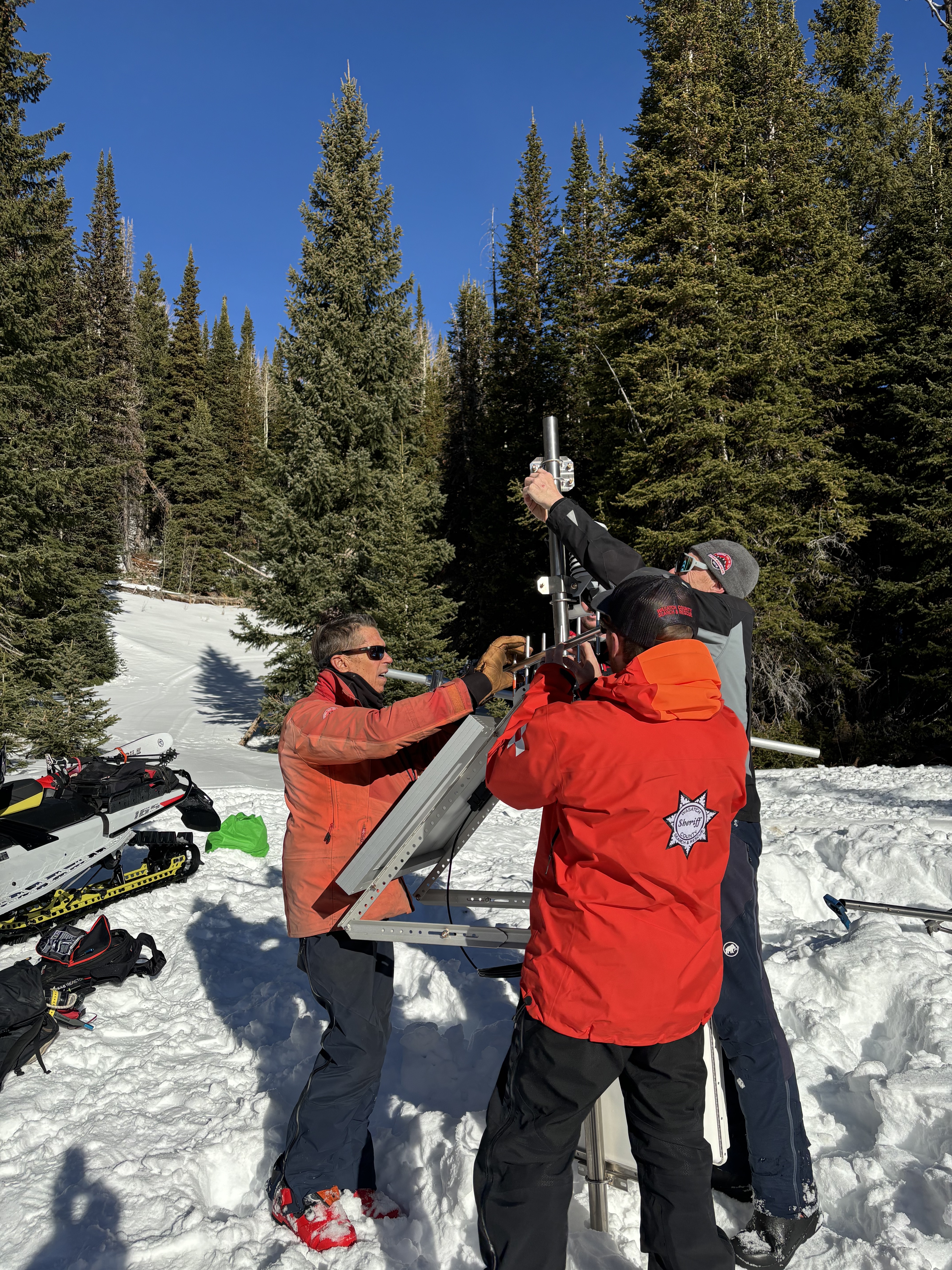
Yesterday was a big day as we hoisted the newest addition to the Uinta Weather Network – The Mill Hollow snow site!
A huge thanks to our good friends at Salt Lake’s National Weather Service, particularly Sean Smith and Jesse Hewitt. In addition, many hands make short work out of a big task and we couldn’t have pulled this off without the boots on the ground help from Chad Brackelsberg, Tyler St. Jeor, Raylund Smith, and Larry Cohen. Thanks for the generous help and support with all aspects of this project!
Weather and Snow
Nowcast
The morning bell rings and temperatures hover between 20-30℉ at upper elevations while winds are light from the southwest gusting to 25 MPH along our highest ridgelines. We are about a week out since our last signifcant snowfall, but things do look promising.
Forecast
For today, expect clearing skies accompanied by a trace of snow as a weak system brushes by us to the north. Winds continue in trend, and are steady, but light from the west with moderate gusts into the 20's.
Futurecast
Expect a little reset by tomorrow morning with the potential for 2-4” of medium-density snow to stack up through tonight. A colder system is slated to slide in on Christmas Day, with a decent refresh, and hopes of 4-8” of snow. The pattern looks active for Christmas through the New Year, and we will keep you in the tight loop as things develop.
Travel & Riding Conditions
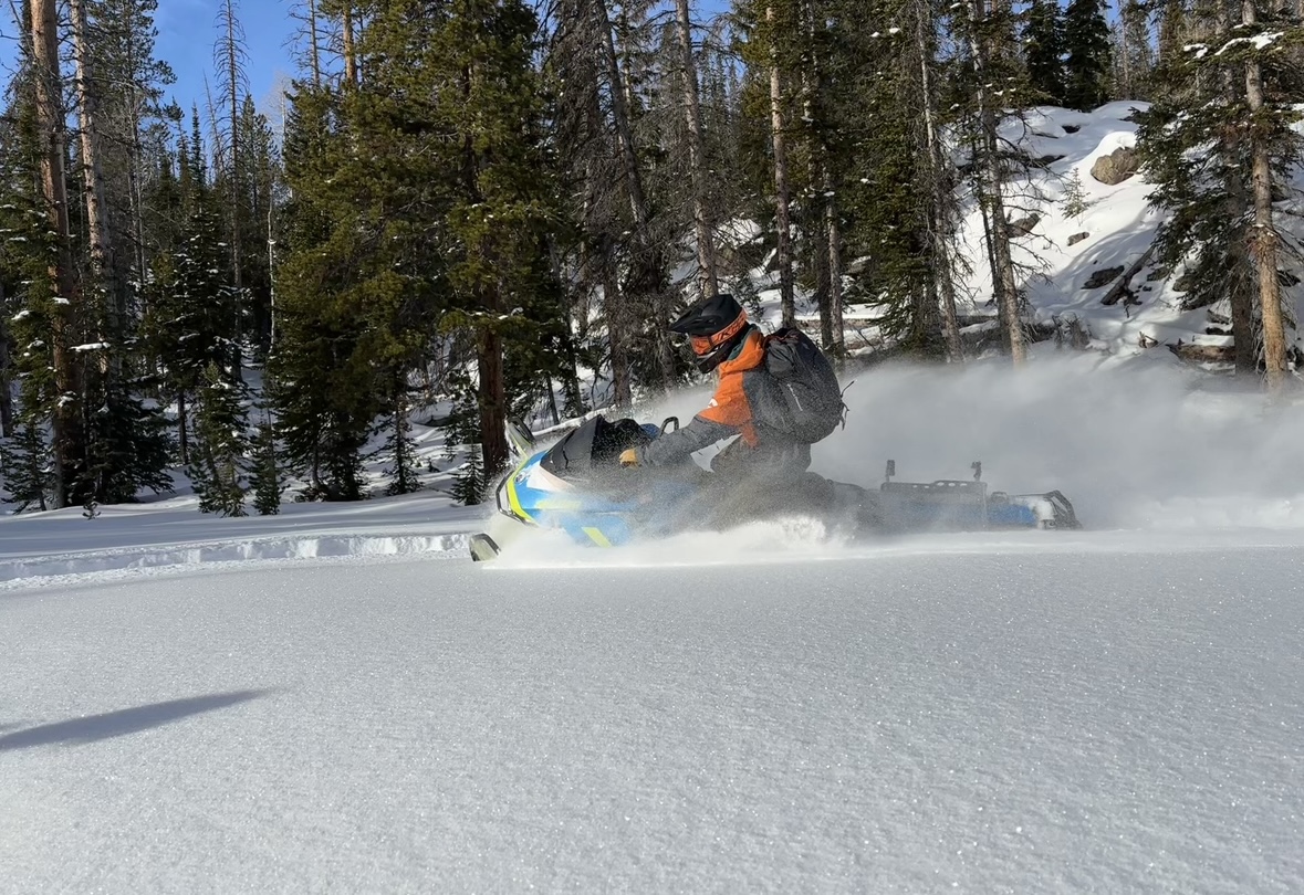
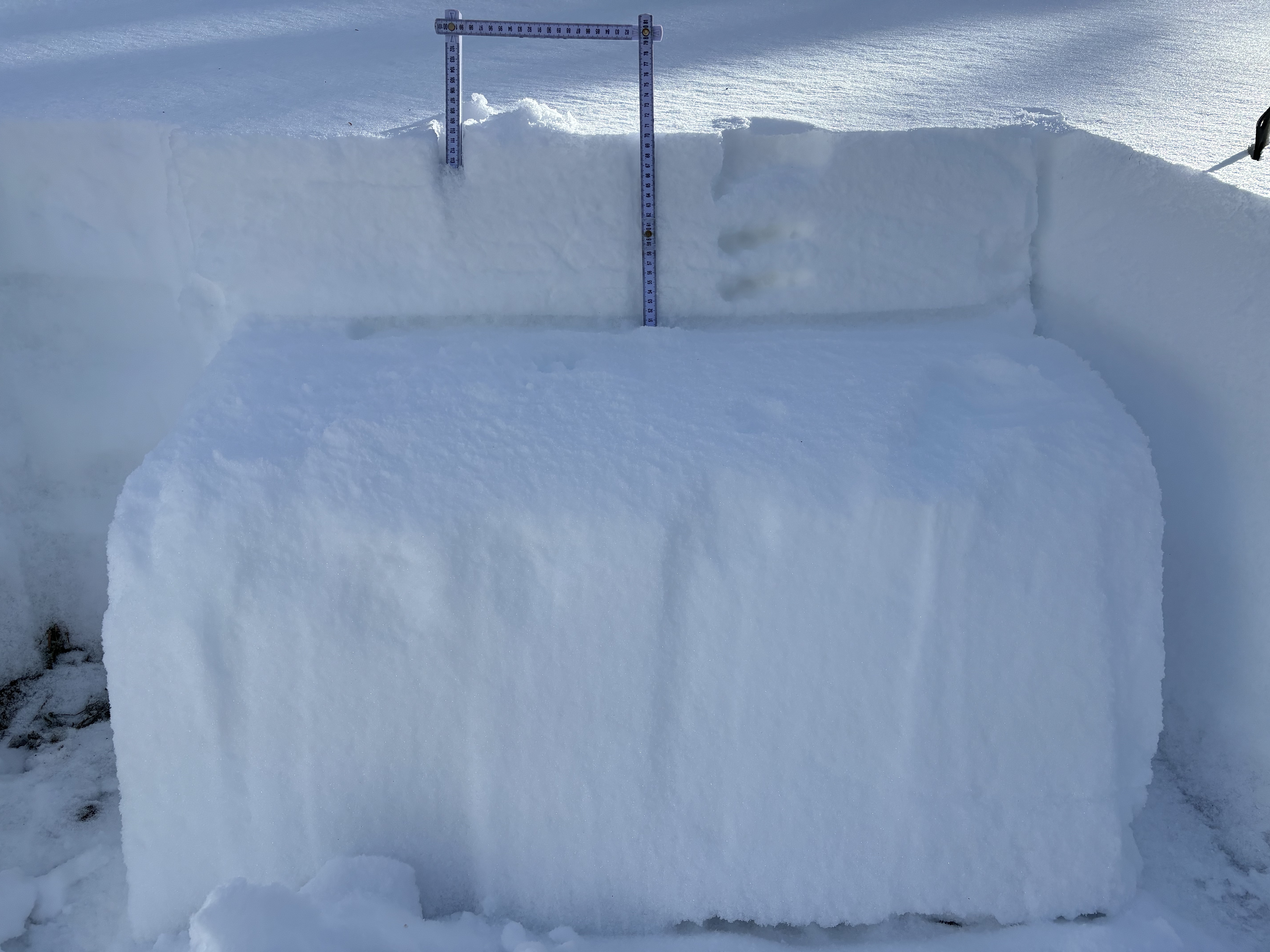
Although the pack is thin, there is good riding out there. Joey and I skipped around the Mirror Lake hood at the end of last week and cautiously proceeded through every friendly meadow we could find. John C was up on Bald Mountain Pass and said, "I saw no evidence of prior slides in the area although the structure makes it clear things will get rowdy with additional snow and wind."
Recent Avalanches
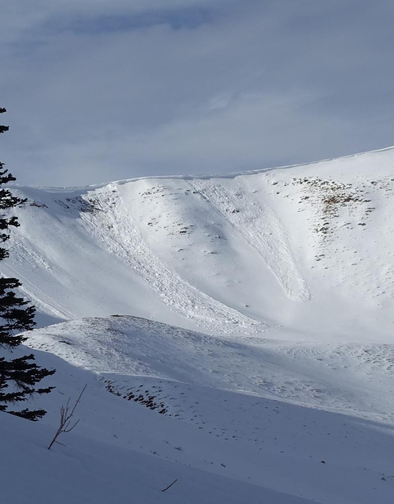
The most recent activity was reported by Bo and Trevor from Upper Weber Canyon where warm temperatures aided cornice failure, triggering the slopes below them. Although relatively small, these avalanches broke on a persistent weak layer and are gouging into old snow at the ground, a sure sign of the spice to come with more snow and wind. For all your info, travel obs, and avalanches from the range visit, here!
Ad
Avalanche Problem #1
Normal Caution
Type
Location
Likelihood
Size
Description
Low danger does not mean no danger. Although any avalanche triggered today would be challenging to find, stubborn, and small in size, it is always important to keep a few things in mind when moving in the mountains…
  • Although there is not a ton of snow available for transport after a week of high pressure... the winds have been moving. Look for rounded, pillow-like wind drifts on the leeward slopes, at upper elevations in the wind zone.
  • Remember, when the avalanche danger decreases we tend to venture into bigger, and more consequential terrain. Whether your move is to upper-elevation alpine terrain, or stepping out onto bigger slopes let’s keep our game tight and continue to implement safe travel techniques
Finally... as we move into an active weather pattern this week let us keep an eye on our real problem child. A thin, well-preserved layer of facets buried 4-10" (10-25cm) beneath the snow surface that is waiting for its next test of weight. Though small in size, Our most recent avalanches have failed on this layer. Our current snowpack is full of weak snow... all we are missing is a slab. With more snow and water on tap it is only a matter of time until a slab develops and it becomes the greatest hazard to us as riders.
General Announcements
Additional Information
The Uinta weather station network was upgraded this summer and all that real-time info is found here. Simply click on the "Western Uinta" tab and then the "Weather Stations" tab to find all your weather needs.
We are always looking for snow and avalanche observations or just general riding conditions. So... if you see something, say something. You can reach our team directly by contacting: Craig at [email protected], 801-231-2170, or Andrew at [email protected], or 860-460-8142.
General Information
This forecast is from the U.S.D.A. Forest Service, which is solely responsible for its content. This forecast describes general avalanche conditions and local variations always occur. This forecast was issued on Sunday, December 22nd at 05:30 AM and expires 24 hours after it was issued. We will update the forecast by 0700 AM tomorrow. But, in the meantime reach out to us with questions, or if you see anything in your travels.