Join us at our 2nd Annual Blizzard Ball

Forecast for the Uintas Area Mountains

Andrew Nassetta
Issued by Andrew Nassetta on
Monday morning, December 23, 2024
For today, LOW avalanche danger exists on all aspects and elevations. Human-triggered and natural avalanches are UNLIKELY, but watch for and avoid wind-drifted, pillow-like snow on isolated terrain features such as leeward slopes, or the downwind side of a slope. Though small, today’s avalanches could result in increased trauma due to being dragged through consequential terrain like rocks, trees and other earthly features.
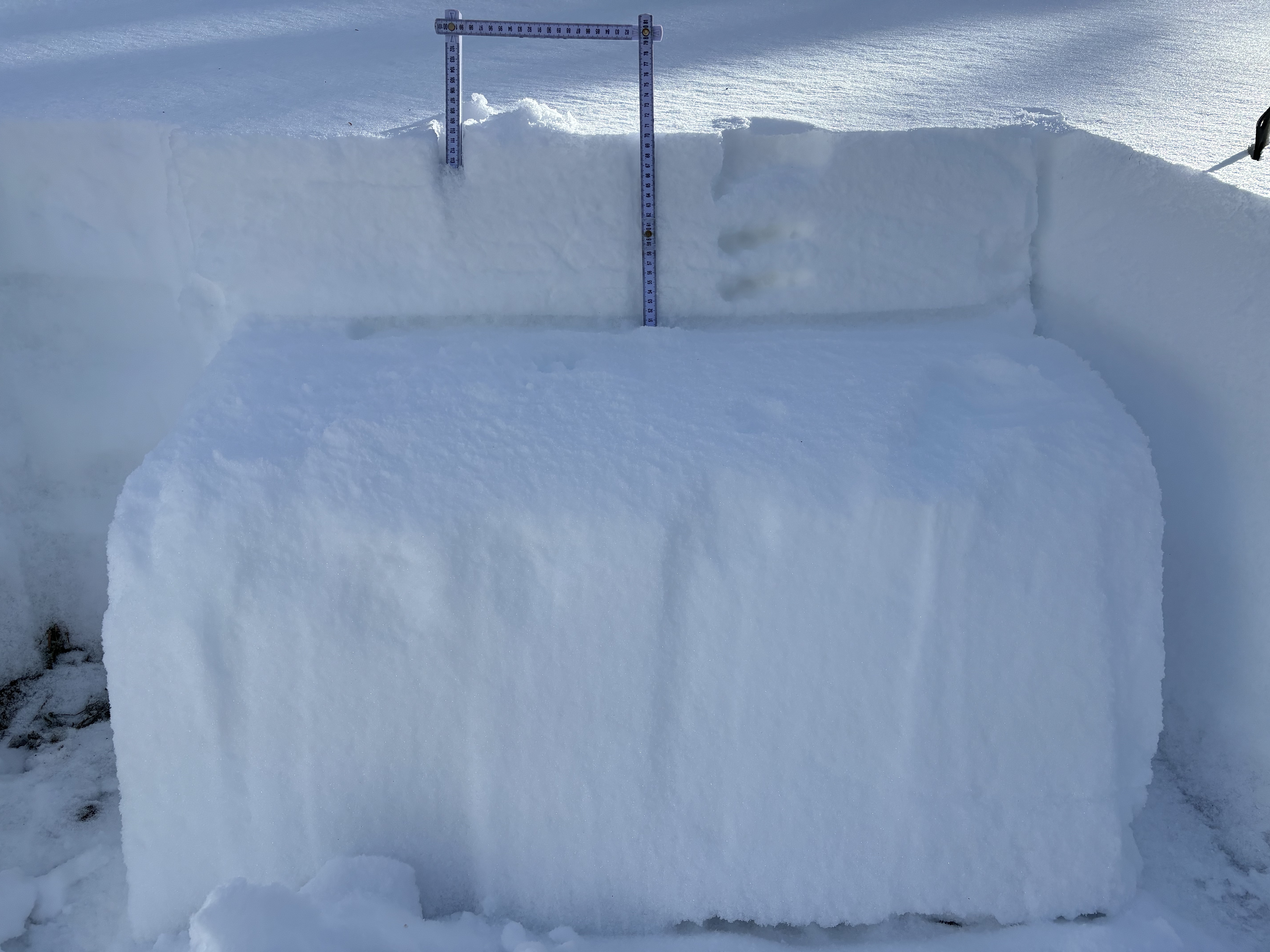
The snowpack remains thin and the greatest hazard is colliding with an object under the snow. To avoid any avalanche hazard and chances of smoking a stump or a rock today I am heading for low-angle, upper-elevation, north-facing wind-sheltered terrain.
Low
Moderate
Considerable
High
Extreme
Learn how to read the forecast here
Special Announcements
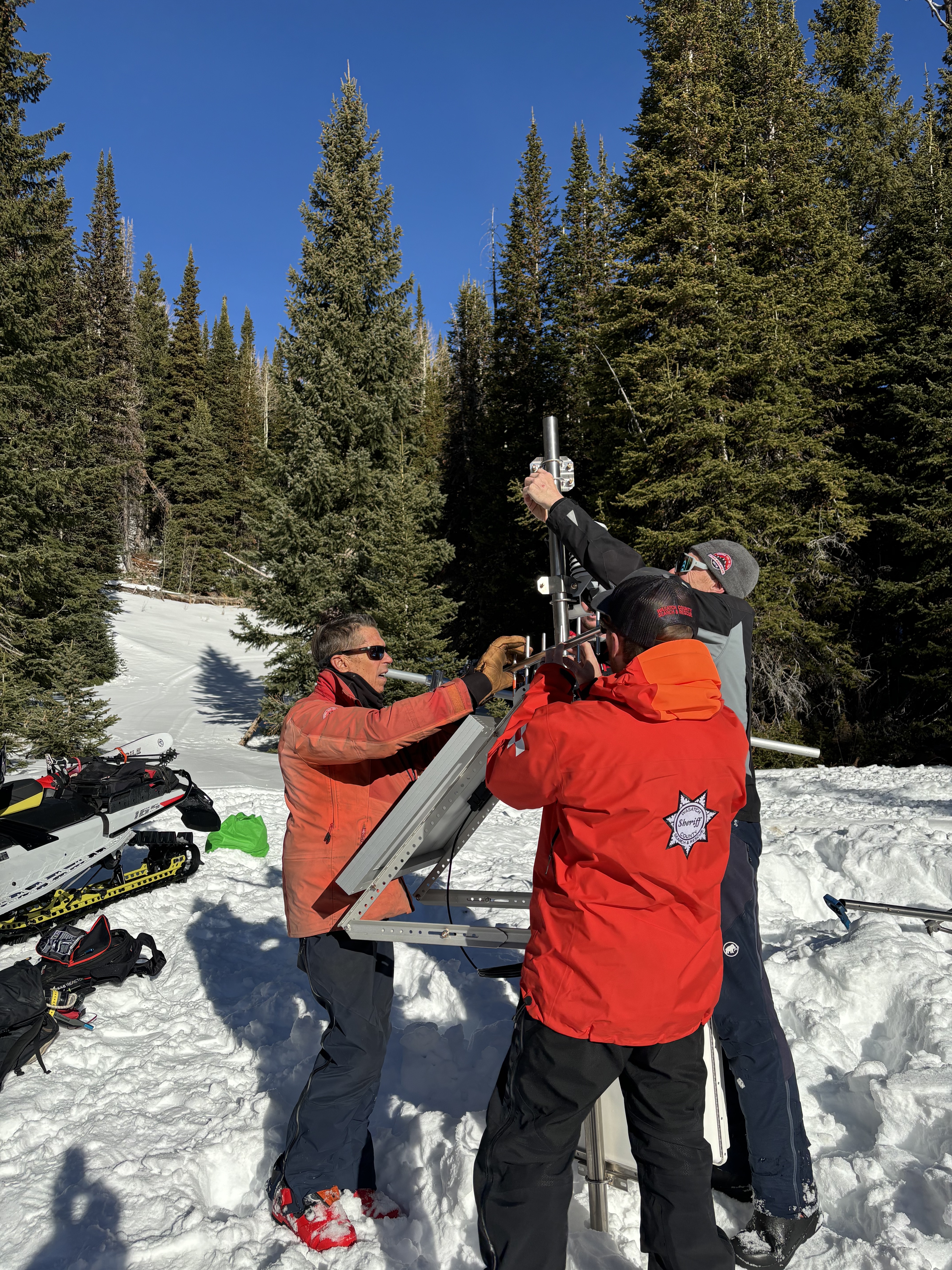
Over the weekend we hoisted the newest addition to the Uinta Weather Network – The Mill Hollow snow site!
A huge thanks to our good friends at Salt Lake’s National Weather Service, particularly Sean Smith and Jesse Hewitt. In addition, many hands make short work out of a big task and we couldn’t have pulled this off without the boots on the ground help from Chad Brackelsberg, Tyler St. Jeor, Raylund Smith, and Larry Cohen. Thanks for the generous help and support with all aspects of this project!
Weather and Snow
Nowcast
All quiet on the eastern front this morning as temperatures float just above 20℉ at 10,000’ while west, northwest winds blow lightly through with a few gusts into the teens at upper elevation ridgelines. No new snow fell overnight, as the expected precipitation cruised by us to the north, leaving skies overcast as of 0500 AM this morning.
Forecast
Overcast skies and mild temps in the 20’s allow for a trace of snow fall by the end of the work day, today. Winds remain tempered, temperatures stay steady, and skies clear heading into Christmas Eve.
Futurecast
A colder system is slated to slide in on Christmas Day, with a decent refresh, and hopes of 4-8” of snow. The pattern looks active through the New Year, and our snowpack sure could use it!
Travel & Riding Conditions
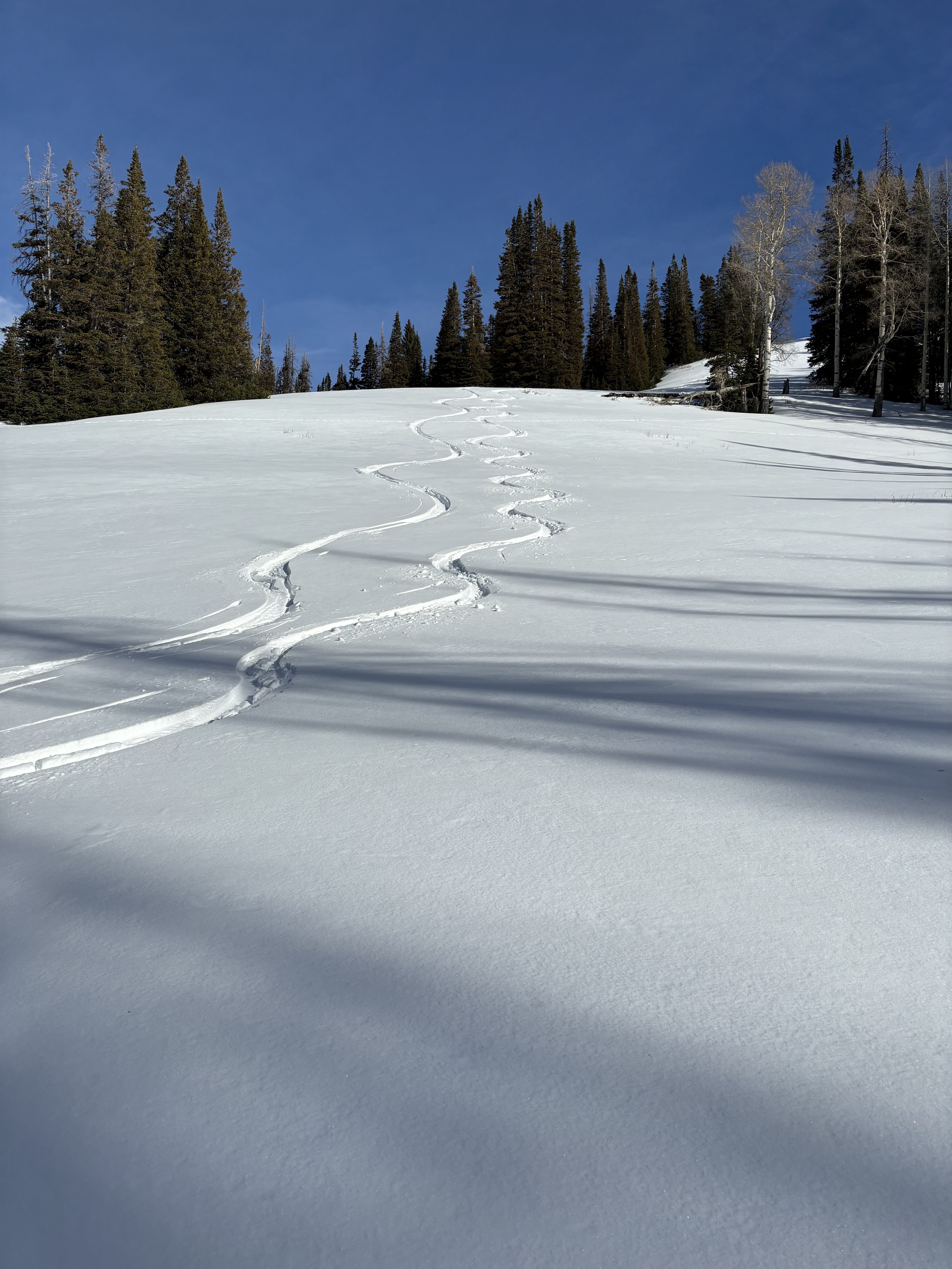
Although the pack is a mixed bag of surfaces, structures, and snow depths… There is good riding to be had. My partner and I cruised around the Highway 35 periphery and found exceptional turning conditions on lower angle, northwest through northeast slopes above 9,000’.
Recent Avalanches
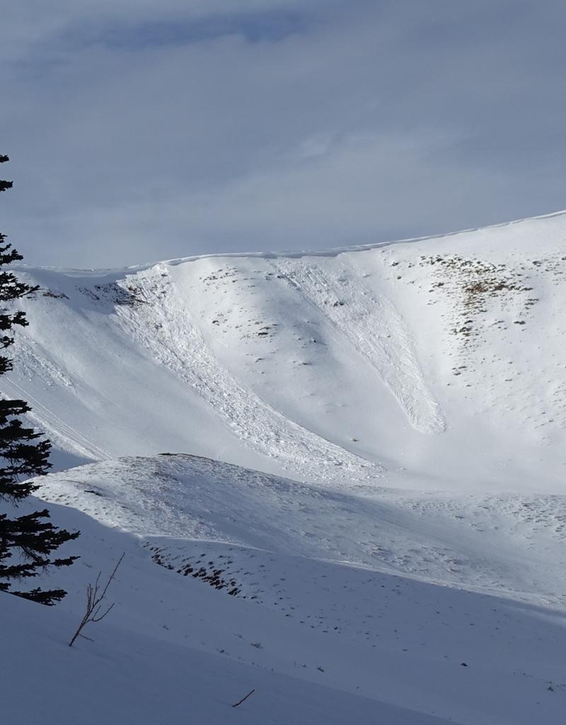
We are three days out since our last reported slide, coming in from Upper Weber Canyon where warm temperatures aided cornice failure, triggering the slopes beneath them.These avalanches broke on a persistent weak layer that is well preserved across the range.For all your info, travel obs, and avalanches from the range visit, here!
Ad
Avalanche Problem #1
Normal Caution
Type
Location
Likelihood
Size
Description
Normal caution suggests that backcountry travelers should apply standard protocols and watch for signs of instability. Small loose avalanches in extreme, or isolated terrain can be expected during normal caution conditions. Here are a few things to keep in mind…
  • First, as riders when the avalanche danger decreases we tend to venture into bigger and more consequential terrain. Whether your move is to upper-elevation alpine terrain, or stepping out onto bigger slopes let’s keep our game tight and continue to implement safe travel techniques.
  • Second, my greatest concern is riding through thin snowpack areas where stumps, rocks, and other earthly features could really mess up my day.
  • Finally... as we move into an active weather pattern this week let us keep an eye on our real problem child. A thin, well-preserved layer of facets buried 4-10" (10-25cm) beneath the snow surface that is waiting for its next test of weight. Though small in size our most recent avalanches have failed on this layer and our current snowpack is full of weak snow... all we are missing is a slab. With more snow and water on tap it is only a matter of time until a slab develops and it becomes the greatest hazard to us as riders.
General Announcements
The Uinta weather station network was upgraded this summer and all that real-time info is found here. Simply click on the "Western Uinta" tab and then the "Weather Stations" tab to find all your weather needs.
We are always looking for snow and avalanche observations or just general riding conditions. So... if you see something, say something. You can reach our team directly by contacting: Craig at [email protected], 801-231-2170, or Andrew at [email protected], or 860-460-8142.
General Information
This forecast is from the U.S.D.A. Forest Service, which is solely responsible for its content. This forecast describes general avalanche conditions and local variations always occur. This forecast was issued on Monday, December 23rd at 05:30 AM and expires 24 hours after it was issued. We will update the forecast by 0700 AM tomorrow. But, in the meantime reach out to us with questions, or if you see anything in your travels.