SAVE THE DATES!
Wednesday, December 4 - USU KBYG (Know Before You Go) Night, USU ARC
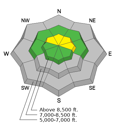
Incessant south winds increased another notch overnight, drifting snow in exposed terrain. The wind is plenty strong enough to pick up snow in fetch areas on the windward side of the ridges and deposit it in the form of stiffer wind slabs in lee-side deceleration zones. There are some areas in upper-elevation terrain steeper than 30° where a person could trigger a small hard slab avalanche of wind-drifted snow. Rapid accumulations of new snow will increase the danger of loose and storm slab avalanches.
- At upper elevations in the Central Bear River Range, around a foot of snow fell earlier in the week on shallow, very loose, sugary snow. This faceted snow is very weak, and as more snow stacks up, it will create avalanche concerns.
- There is 13" of total snow at the 8500' Tony Grove Snotel and 17" at the 8800' UAC Card Canyon weather station.
- The wind is blowing from the south 35 ot 40 mph with overnight gusts close to 60 mph at 9700' at the CSI Logan Peak weather station, and 10 mph with gusts of around 26 mph on Paris Peak.
- A Pacific storm system will bring snow to northern Utah beginning later today and intensifying tonight. 6 to 12 inches of accumulation is possible, with snowfall likely heavy at times tonight and tapering off tomorrow. After a break Sunday afternoon through Monday, storminess will return with the potential for decent additional accumulations in the mountains and winter driving conditions leading up to the Thanksgiving Holiday.
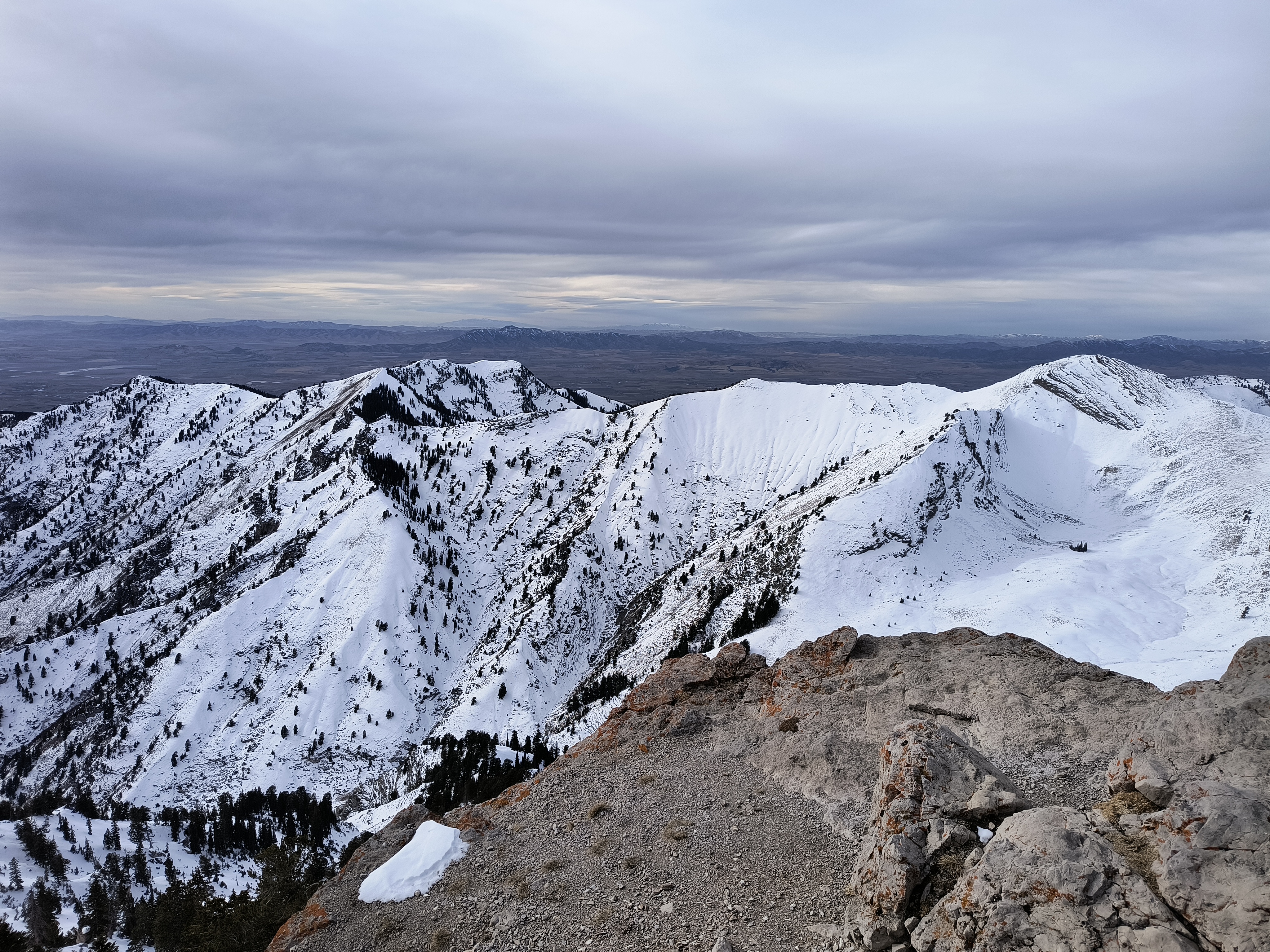
An observer sent in this picture looking west from the summit of Naomi Peak (11-22-2024)
No avalanches have been reported recently in the Logan Zone, but remember, avalanches are most likely during and just after storms on slopes steeper than 30°.


