Join us at our 2nd Annual Blizzard Ball

Forecast for the Logan Area Mountains

Toby Weed
Issued by Toby Weed on
Friday morning, November 22, 2024
Friday, November 22, 0700:
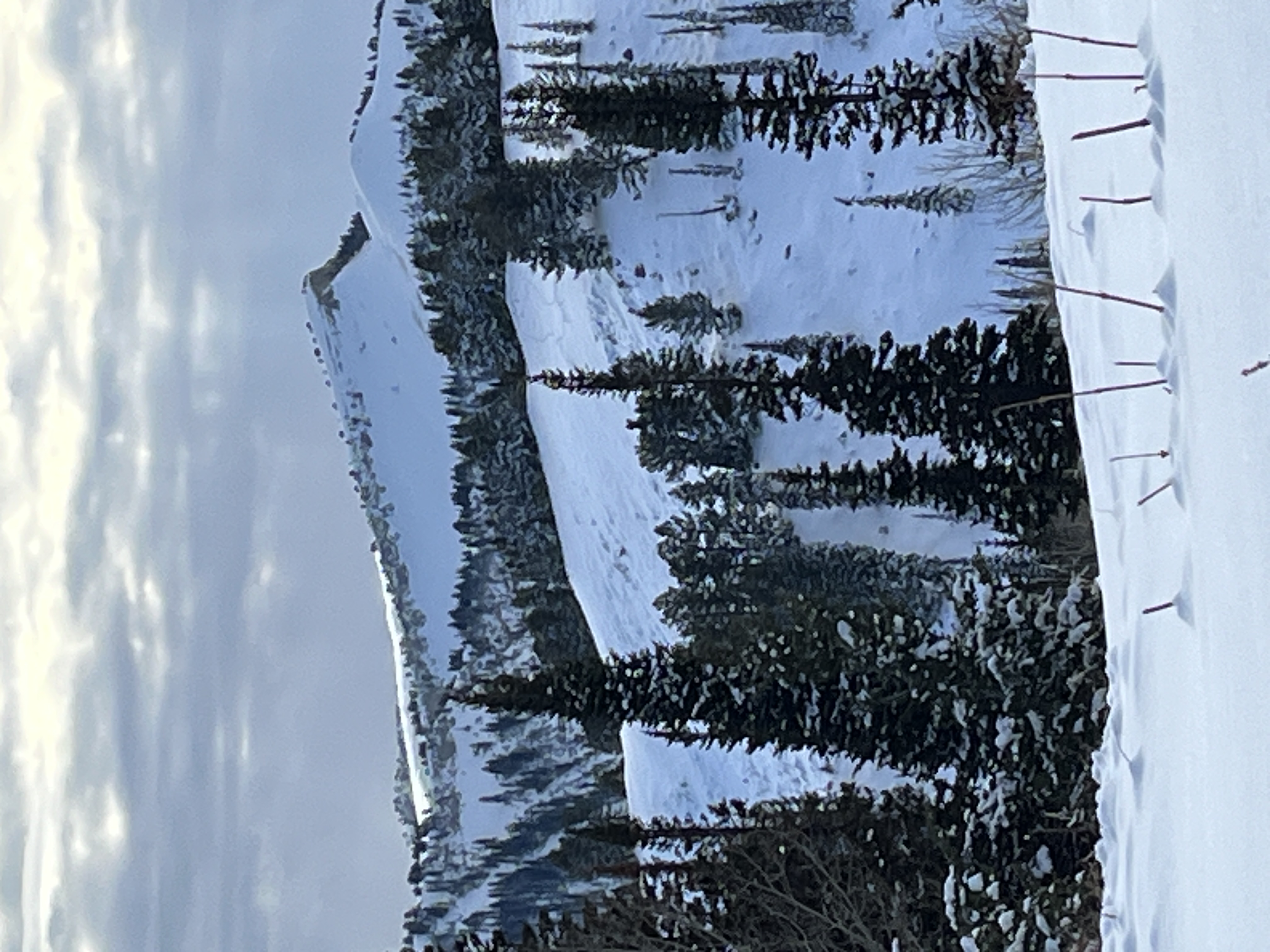
Yesterday and overnight, constant winds blowing from the south drifted Monday's snow in exposed terrain. The wind was strong enough to pick up snow in fetch areas on the windward side of the ridges and deposit it in the form of stiffer wind slabs in lee-side deceleration zones. There are some areas in upper-elevation terrain steeper than 30° where a person could trigger a small avalanche of wind-drifted snow. Although it's unlikely that enough snow would be involved to bury you, a ride over rocks in even a small avalanche could be quite dangerous.
Low
Moderate
Considerable
High
Extreme
Learn how to read the forecast here
Special Announcements
SAVE THE DATES!
Tuesday, December 3 - 21st Annual Pray for Snow fundraiser/party, Cache, Logan Information and tickets available here.
Wednesday, December 4 - USU KBYG (Know Before You Go) Night, USU ARC
Saturday, December 7 - 17th Annual Utah Snow and Avalanche Workshop (USAW) - Information and tickets available here.
Weather and Snow
  • At upper elevations in the Central Bear River Range, around a foot of snow fell earlier in the week on shallow, very loose, sugary snow. This faceted snow is very weak, and as more snow stacks up, it will create avalanche concerns.
  • There is 14" of total snow at the 8500' Tony Grove Snotel and 21" at the 8800' UAC Card Canyon weather station.
  • The wind is blowing from the south at 10 mph with gusts of around 20 mph on Paris Peak, and 30 mph with gusts close to 40 mph at 9700' at the CSI Logan Peak weather station.
  • A Pacific storm system will bring snow to northern Utah this weekend, with 6 to 12 inches of accumulation possible. The heaviest snowfall will occur on Saturday night. Additional, longer-duration storminess is expected early next week with the potential for significant accumulations in the mountains, leading up to the Thanksgiving Holiday.
For more information, visit the UAC weather page here: Weather - Utah Avalanche Center
For Logan-specific weather go here: Logan Mountain Weather - Utah Avalanche Center
Recent Avalanches
No avalanches have been reported recently in the Logan Zone, but remember, avalanches are possible any time snow accumulates on slopes steeper than 30 degrees.
Ad
Avalanche Problem #1
Wind Drifted Snow
Type
Location
Likelihood
Size
Description
Shallow avalanches of drifted snow are possible in upper elevation terrain on slopes steeper than 30°.
Additional Information
The video is from last year, but the message is still good for the early season. Take the time now to check your companion rescue equipment and refresh your skills with backcountry partners...
General Announcements
-National Forest Winter Recreation Travel Maps show where it's open to ride: UWCNF Logan, Ogden LRD Tony Grove, Franklin Basin CTNF Montpelier
-Sign up for forecast region-specific text message alerts. You will receive messages about changing avalanche conditions, watches, and warnings...HERE.
-For all questions on forecasts, education, Know Before You Go, events, online purchases, or fundraising, call 801-365-5522.
-To report an avalanche or submit an observation from the backcountry, go HERE.
-Please continue to submit your observations from the backcountry so we can publish them and keep people informed of what you're seeing out there.

This forecast is from the U.S.D.A. Forest Service, which is solely responsible for its content. This forecast describes general avalanche conditions, and local variations always occur.