Join us at our 2nd Annual Blizzard Ball

Forecast for the Provo Area Mountains

Greg Gagne
Issued by Greg Gagne on
Friday morning, November 22, 2024
Watch for a rising avalanche danger this weekend with strong winds and heavy snow possible overnight Saturday into Sunday.

Updates will follow as conditions warrant. This update is from 6 pm on Friday, November 22, 2024.
Low
Moderate
Considerable
High
Extreme
Learn how to read the forecast here
Special Announcements
Weather and Snow
There is little snow at the low elevations making access challenging. The good news is we are expecting snow Saturday night into Sunday, with additional snow this week.
Saturday - Winds will be from the south/southwest gusting near 30 mph at the mid elevations and over 60 mph at the uppermost elevations ahead of a storm on later Saturday evening. Snowfall could be heavy overnight Saturday into Sunday morning, with snow totals possibly exceeding a foot in the upper elevations of the Provo mountains.
Sunday - Slowly clearing skies with snow showers ending during the morning. A brief break with more snow possible on Tuesday.
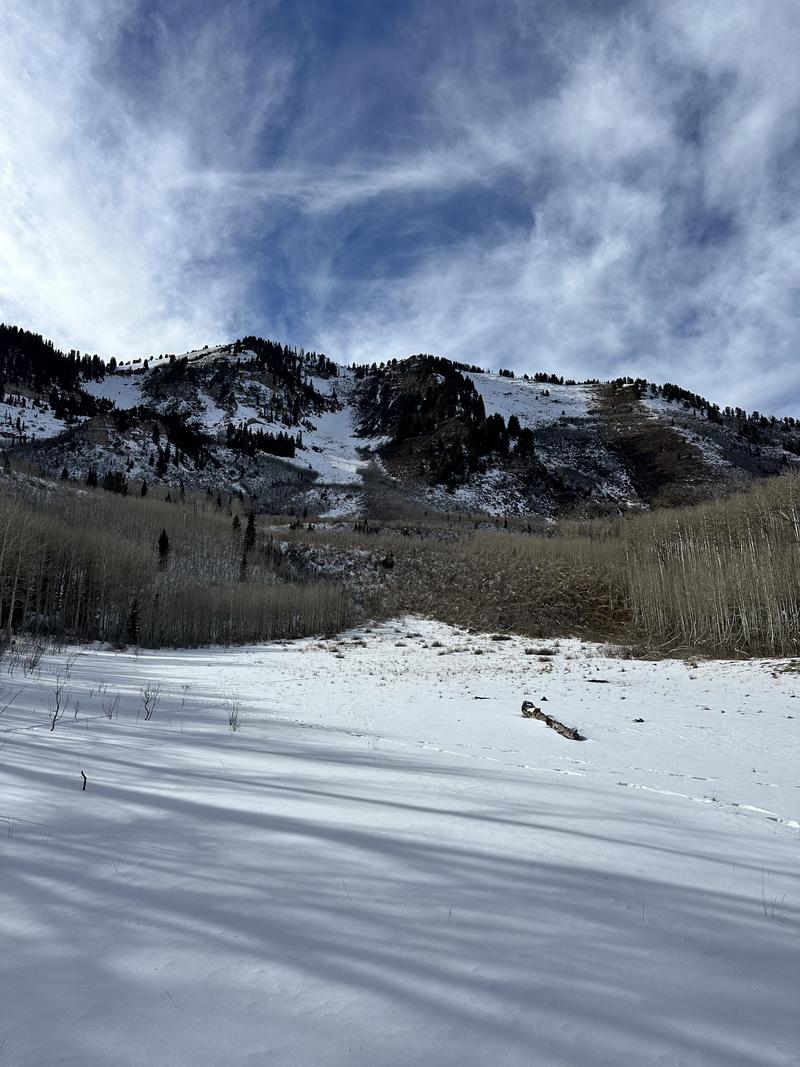
Photo from Nikki Champion and Drew Hardesty's field day on Friday, Nov 22.
Recent Avalanches
No recent avalanches reported. On Friday, UAC forecasters Nikki Champion and Drew Hardesty traveled around the Provo-area mountains and provide a great overview of the coverage and snowpack. Nikki demonstrates some of the weak snow they found in the video below.
Ad
Avalanche Problem #1
Normal Caution
Type
Location
Likelihood
Size
Description
Continued incremental loading (more snow and water) has started to sneak up on us and the places that are holding the most snow (upper elevation northerly facing aspects) are the places that are most suspect right now. Dig down on any slope you intend to travel on to see if there is a slab of new or wind loaded snow with soft weak snow underneath before committing to ascend or descend a slope over 30° degrees. I still think the biggest concern is the summer surface and I am still sticking to lower angle ridges and slopes where I can't get enough speed to hit a rock or stump just under the surface. Some avalanche problems you may want to keep on your radar:
  • New Snow - The new snow may not bond well to the different crusts and weak faceted snow in our shallow snowpack. There will be a potential for sluffing and even shallow soft slabs of storm snow, especially during any period of higher precipitation
  • Wind-Drifted Snow - Blowing winds will cause snow to drift at the upper elevations. Watch for signs such as cracking in fresh wind slabs. Although these drifts should be small, you will want to avoid getting caught in one in steep, consequential terrain
Additional Information
Before traveling within one of the ski resort boundaries, check out Resort Uphill Policies.