UDOT PLANNED AVALANCHE CLOSURES!!

Forecast for the Salt Lake Area Mountains

Greg Gagne
Issued by Greg Gagne on
Thursday morning, November 14, 2024
This forecast was updated at 6:00 PM on Thursday, November 14, 2024.

Welcome to the start of the 2024-2025 winter season!
Currently, the greatest backcountry risk is hitting rocks and stumps which are barely buried underneath our thin snowpack. Strong winds on Friday may create pockets of wind-drifted snow along mid and upper elevation ridgelines.

Updates will follow as conditions warrant.
Low
Moderate
Considerable
High
Extreme
Learn how to read the forecast here
Special Announcements
Weather and Snow
6-8" of new snow fell on Tuesday with small wind drifts in the upper elevations which were reactive to ski cuts.
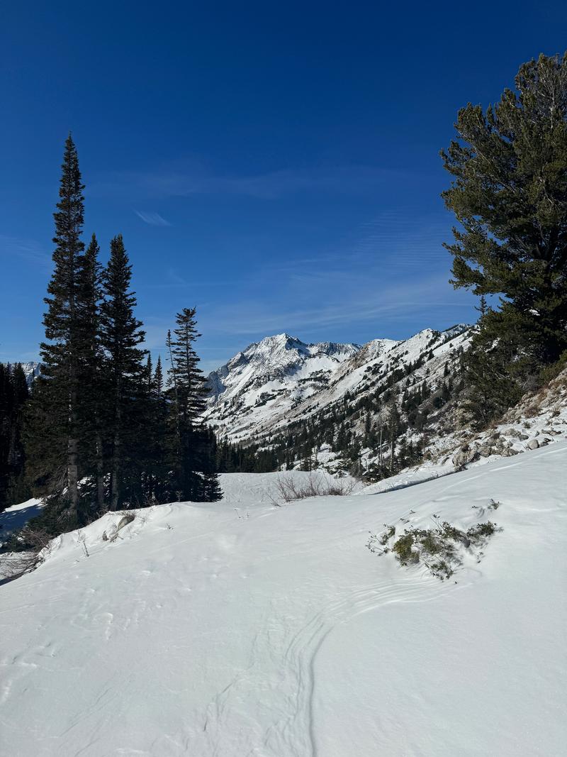
Many south-facing slopes have melted out and shady, northerly slopes hold 8-12" with 18" in some areas.
If you want a thorough picture of the current snowpack in the upper Cottonwoods, be sure to read Dave Kelly's observation from Silver Fork on Thursday, Nov 14. One of the many photos from his observation is below.

Winds blowing from the south/southwest will be strong on Friday, with snow developing in the afternoon. Snow will be heaviest overnight Friday and into Saturday morning, with snow totals of 8-12" possible in the upper Cottonwoods. A similar system is likely on Monday.
A thin early-season snowpack can change quickly, especially on cold, shaded north aspects where strong temperature gradients speed up faceting. Read more about faceting in the snowpack HERE.
Recent Avalanches
Find all recent observations HERE.
Ad
Avalanche Problem #1
Normal Caution
Type
Location
Likelihood
Size
Description
Avalanche conditions are generally safe, but keep the following in mind:
  • New Snow - The new snow may not bond well to the different crusts and weak snow surfaces. There will be a potential for sluffing and even shallow soft slabs of storm snow, especially during any period of higher precipitation.
  • Wind-Drifted Snow - The westerly winds may find some soft snow to drift at the upper elevations. Watch for signs such as cracking in fresh wind slabs. Although these drifts should be small, you want to avoid getting caught in one in steep, consequential terrain.
Additional Information
It’s never too early to start thinking about avalanches. Here are a few things to consider doing:
  • Before traveling within one of the ski resort boundaries, even early season, check out Resort Uphill Policies
  • We have over 5 hours of free online learning at the Know Before You Go Website
  • Sign up for an on-snow class or in in person Know Before you Go Event HERE
  • Get your avalanche rescue gear ready for winter. Put fresh batteries in your transceiver and update the firmware. Inspect your shovel and probe. Get your airbag backpack ready by possibly doing a test deployment and updating the firmware if it is an electric version or getting your canister refilled if it's not electronic