AVALANCHE WARNING!! Tap for info

Forecast for the Uintas Area Mountains

Craig Gordon
Issued by Craig Gordon on
Wednesday morning, April 3, 2024
They're beginning to migrate, but a few apex predator dorsal fins linger, piercing the calm waters in a sea of green avy hazard-
Not widespread and pockety in distribution, size, and scope you'll find MODERATE avalanche danger in the wind zone, above treeline today. Human triggered avalanches are POSSIBLE especially on steep, wind drifted, leeward slopes in high alpine terrain.
LOW avalanche danger is found on wind sheltered slopes and most terrain facing the south half of the compass where human triggered avalanches are UNLIKELY.

Low
Moderate
Considerable
High
Extreme
Learn how to read the forecast here
Special Announcements
Huuuge thanks to everyone who helped make our spring fundraising campaign a remarkable success! Without you, there is no us, and we couldn't pull this off without your very generous support :)
Weather and Snow
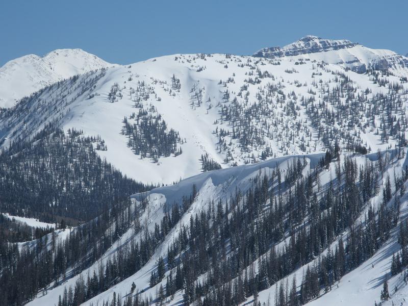
Nowcast- High pressure overhead delivers severe-clear skies and temperatures in the mid and upper 20's, which is 10 degrees warmer than yesterday at this time. Winds are light and blow from the northwest, clocking in at 10-15 mph near the high peaks. Recent storms helped with a nice, region-wide reset and you'll find cold, creamy snow on upper elevation wind sheltered slopes. Lower elevation terrain and most slopes facing the south half of the compass got kissed by the sun yesterday and will have a thin heat crust this morning.
Forecast- It'll be a stunning day with clear skies and temperatures warming into the 40's. Winds shift to the southwest as the day wares on, bumping into the 30's by about dinner time.
Futurecast- Thursday is warm and windy with another storm setting sights set to round out the workweek.
The Uintas are fat and white. In fact, last weeks stormy weather stacked up nearly three feet of snow with over 4" of water at the Trial Lake SNOTEL
Recent Avalanches
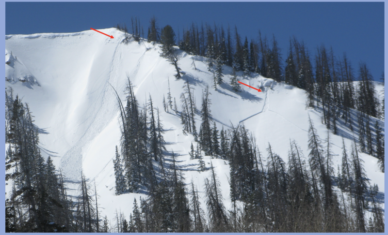
Yesterday's strong sunshine brought recent cold, storm snow to life. As a result, sluffs dribbling off of steep cliffs triggered shallow slides below
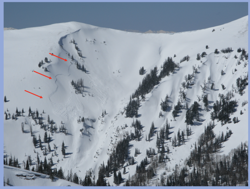
A larger natural slide in upper Chalk Creek from Sunday's strong wind and periods of intense snowfall.

For all Uinta observations and archived avalanche activity click HERE.
Ad
Avalanche Problem #1
Wind Drifted Snow
Type
Location
Likelihood
Size
Description
I think most of our recent drifting issues settled out yesterday and won't be nearly as reactive as earlier in the week. However, if my objectives take me into big terrain, I'd step out cautiously, but with intent. Gather as much information as you can in your travels. Tweak small test slopes like road cuts and see how they're reacting before center-punching a committing line.

Additional Information
The Uinta weather station network was upgraded this summer and all that real-time info is found HERE. Simply click on "western Uinta" tab and then "weather stations" tab.

We are always looking for snow and avalanche observations or just general riding conditions. So... if you see something, say something. You can reach me directly at [email protected] or 801-231-2170.
Also, if you're looking for more avy education opportunities for yourself, your crew, or your club please don't hesitate to reach out to me and we'll find a presentation, class, or clinic for ya!
General Announcements

Issued at 0300 on Tuesday, April 3rd this forecast will be updated by 0700 Thursday, April 4th, 2024.
This forecast is from the U.S.D.A. Forest Service, which is solely responsible for its content. This forecast describes general avalanche conditions and local variations always occur.