Sign Up for the Utah Snow and Avalanche Workshop (USAW) on December 7th!

Forecast for the Skyline Area Mountains

Brett Kobernik
Issued by Brett Kobernik on
Wednesday morning, February 21, 2024
The danger rating starts out at MODERATE this morning but may rise to CONSIDERABLE as the day goes on.
It will all depend on how much new snow and wind we see.
If we get more than a couple inches of new snow and the wind blows, the danger will most likely reach CONSIDERABLE with natural and human triggered avalanches likely.
If we don't get too much snow and the wind stays in check, the danger will stay at MODERATE.
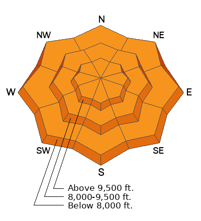
Lower elevation terrain has wet saturated snow and steep slopes should be avoided.
Low
Moderate
Considerable
High
Extreme
Learn how to read the forecast here
Weather and Snow
Current Conditions: Another 4 inches of new snow fell in the last 24 hours. This brings totals up to 5 to 8 inches since Monday. The north end of the Skyline has again received the most. The new snow is quite dense. The rain/snow line has been somewhere between 7000' and 8000' in elevation. Wind has been light to moderate in speed from the southwest. Temperatures remain pretty warm with most locations around 30˚F.
Mountain Weather: The storm will hang around today but I'm not that optimistic that we'll see more than a few inches of snow. Temperatures will remain around 30˚F. Wind starts out light to moderate from the southwest. It looks like it could get breezy as the day goes on and will shift around and come from the northwest. The weather clears out Thursday through the weekend.
Ad
Avalanche Problem #1
Wind Drifted Snow
Type
Location
Likelihood
Size
Description
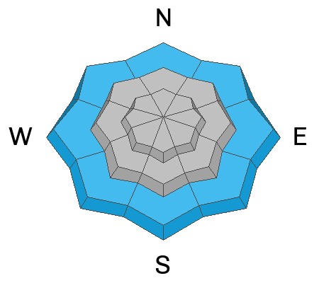
The avalanche danger really depends on what the weather does today. There's a chance that we could see more than a few inches of new snow and the wind gets stronger this afternoon. This would create fresh drifts that could be human triggered.
If we don't see that much snow and the wind doesn't get out of hand, the danger won't rise and avalanches will be unlikely.
Just pay attention to what the weather does today. If it snows and blows, watch for fresh drifts that form and keep an eye out for cracking within the new snow which indicates sensitive and unstable conditions.
Avalanche Problem #2
Wet Snow
Type
Location
Likelihood
Size
Description
The lower elevation terrain has wet and saturated snow. There were quite a few rollerballs forming on Tuesday. This is often an indicator of wet snow becoming unstable. Avoid steep terrain in the lower elevations.
General Announcements
This forecast is from the U.S.D.A. Forest Service, which is solely responsible for its content. This forecast describes general avalanche conditions and local variations always occur.