Under a moist southwest flow, it continues to snow in the mountains with another 4-8 inches (0.15-0.80" swe) of new snow in the past 24 hours. The wind remains from the southwest and blows 15-25 mph with gusts into the 30s & 40s across the upper elevations. Mountain temperatures range from 20-32 °F, and I suspect the rain/snow line is still hovering around 7,500'.
Today, we can expect more heavy snowfall in the morning, with 1-2 inches per hour rates in some locations. This storm is a giant mess of moisture, and a lot will depend on where the wave sets up and produces snow. One model this morning shows 2.5" of snow throughout the day, while another shows 15 inches. Take your pick. Snowfall will begin to decrease after lunch. Temperatures will decrease as well throughout the day as the wind shifts to the west and finally to the northwest later this evening. Winds will remain at elevated speeds of 15-25 mph throughout the day.
The best riding and turning conditions are found at the mid and upper elevations, where the snow is cold and dry.
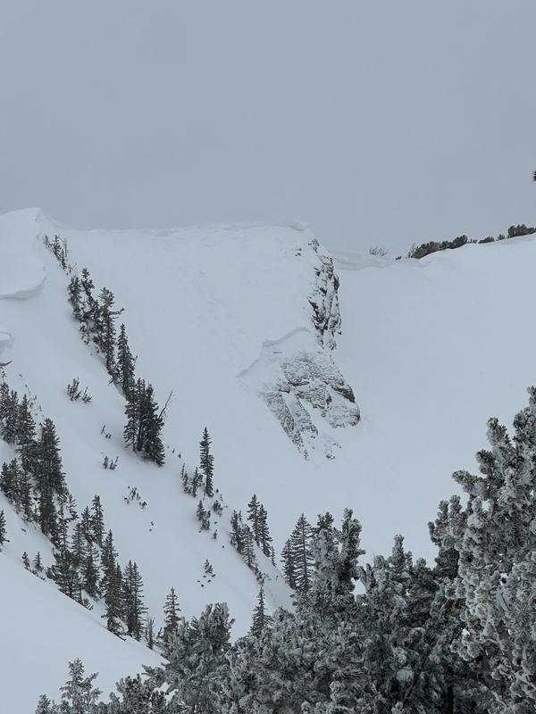
Yesterday was relatively quiet in terms of avalanches or observations reported. One observer noted very large and sensitive cornices along upper ridges. These cornices are breaking back further than expected. Another found an avalanche in upper Days Fork that was intentionally triggered by a cornice fall (pic below).


