Join us at our 2nd Annual Blizzard Ball

Forecast for the Abajos Area Mountains

Eric Trenbeath
Issued by Eric Trenbeath on
Friday morning, February 16, 2024
The odds of triggering an avalanche have siginificantly decreased, but you can still trigger a deep and dangerous avalanche primarily on steep slopes that face NW-N-NE-E. In these areas, a buried persistent weak layer of sugary, faceted snow exists underneath a slabs of recent and wind drifted snow. Outward signs of instability may not be present, but all it takes is finding the right trigger point, sometimes after several people have been on the slope. Likely trigger points include thin, shallow snowpack areas, and steep convex slopes.
Low
Moderate
Considerable
High
Extreme
Learn how to read the forecast here
Weather and Snow
It's now been a week since the last snowfall and the snowpack is beginning to adjust to the load. All told, the Abajo/Blue Mountains received more than 2' of snow containing 4.0"-5.0" of Snow Water Equivalent between Feb 1-8. This was a tremendous load on the weak, underlying snowpack and several natural avalanches occurred. The snowpack is beginning to adjust but you can still trigger a deep and dangerous avalanche failing on a buried persistent weak layer. The problem is that outward signs of instability such as collapsing and whumphing may not be present and things might feel okay. Over in Colorado, where they have a similar snowpack, people are triggering avalanches daily down to this weak layer, sometimes after multiple runs on the same slope. Likely trigger points include thinner snowpack areas along slope margins, near rocky outcrops, or in areas of steep, rocky, radical terrain. The danger is greatest on steep slopes facing NW-N-NE-E, and this type of terrain should still be avoided.
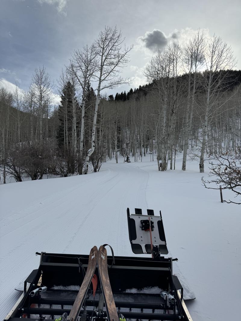
Volunteers from the Blue Mountain Snowshoe and Ski Club groomed all 5.2 miles of trail from the Dalton Springs Trailhead yeseterday. This includes the Hart's Draw Road through 70's Flat, and the Buckboard Campground Loop. It should be a great next few days for getting out on the trails!
NWS forecast for the Abajo Mountains.
Snow totals and temps at Buckboard Flat (8924')
Snow totals and temps at Camp Jackson (8858')
General Announcements
This forecast is from the U.S.D.A. Forest Service, which is solely responsible for its content. This forecast describes general avalanche conditions and local variations always occur.