Observation Date
1/26/2024
Observer Name
Staples, Richards, Shea
Region
Uintas » Reids Peak
Location Name or Route
Between Reids Pk and Notch Mtn
Comments
It's a Tale of Two Snowpacks - one is deep and it is getting much harder to trigger a slide. The other is shallow, weak, and easier to trigger a slide. When I think about what type of snowpack exists in avalanche starting zones - there are a range of possibilities that make it really complicated. The snow can be thick or thin. Some slopes likely avalanched in early December. Some avalanched during high winds and snowfall the weekend of Jan 13th. Other avalanched more recently around Jan 20. Some slopes may have avalanched once, twice, or even three times. All of this means that I have no idea what the snow looks like in starting zones.
For safety reasons, we often don't dig our snowpits in starting zones, so we have to dig in multiple places and use that information to speculate what the snow looks like in avalanche terrain. In many areas like where I dug my first pit, the snow was 150 cm deep (~5 ft) with a very hard (pencil hardness) layer above the PWL. My extended column test did not break after 30 taps - a good sign. This was the first time I have gotten this result in the Uintas.
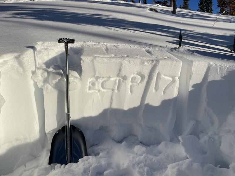
Later, I went to a west facing slope at 9930' and there was only 70 cm of snow (~2.5 ft). I was bouncing off stumps an logs getting to this spot, and my stability test score was ECTP17. It broke and propagated after 17 taps - a gad score.
So - Overall the odds of triggering a slide have gone down. But the odds are not the same on every slope. For me personally, I am still avoiding avalanche terrain. I am not totally comfortable being in run out zones, but I am ok crossing through them because triggering a slide from below seems unlikely (but not impossible). If I did decide to ski or ride in avalanhe terrain, I would be worried about triggering a slide from a thin spot. However, each day the likelihood goes down a little bit.
A good example is an avalanche that happened yesterday on Ant Knolls near Snake Creek out of Wasatch State Park near Midway. That slope is has a thinner than normal snowpack - maybe just because it's rocky or maybe it avalanched previously.
Photo 1 - NW facing, 10,370', ECTX (didn't break - good)
Photo 2 - W facing, 9930', ECTP17 (broke and propagated after 17 taps - bad)
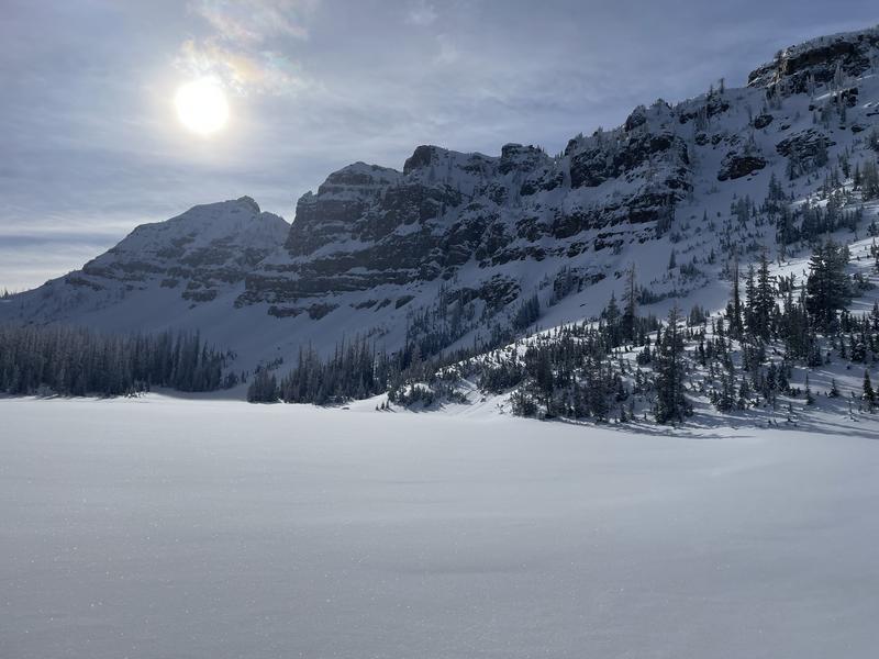
Photo 3 - Notch Mtn


Video
Today's Observed Danger Rating
Moderate
Tomorrows Estimated Danger Rating
Moderate
Coordinates


