Join us at our 2nd Annual Blizzard Ball

Forecast for the Skyline Area Mountains

Brett Kobernik
Issued by Brett Kobernik on
Sunday morning, January 14, 2024
EXTREME AVALANCHE DANGER!!
Natural and human triggered avalanches are certain.
BACKCOUNTRY TRAVEL IS NOT RECOMMENDED.
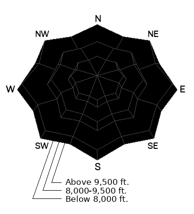
Low
Moderate
Considerable
High
Extreme
Learn how to read the forecast here
Avalanche Warning
What
The avalanche danger for the warning area is EXTREME.
When
In effect from 6am MST this morning to 6am MST Monday.
Where
For the mountains of northern and central Utah and southeast Idaho, which includes the Wasatch Range...the Bear River Range...Uinta Mountains...Manti-Skyline plateau...and the Mountains of Southwestern Utah.
Impacts
Strong winds and heavy snowfall have created dangerous avalanche conditions. Avalanches failing on a widespread persistent weak layer buried under the new snow are very likely. Backcountry travel should be avoided.
Weather and Snow
Current Conditions: It's the real deal out there. Snow, wind, avalanches everywhere. The north end of the Skyline picked up another 9 inches of snow overnight. The central and southern end have only received a couple of inches. The wind from the southwest continues to be fairly strong. Temperatures have crept into the mid to upper 20s.
Mountain Weather: More snow and fairly strong wind is expected today. We could see a foot of new snow by Monday morning. Wind will shift and come from the northwest. It looks like temperatures will stay in the mid 20s or perhaps even cool off a bit. The storm starts to taper off on Monday with lingering snow showers. Tuesday actually looks mostly sunny then another storm may move through on Wednesday.
Recent Avalanches
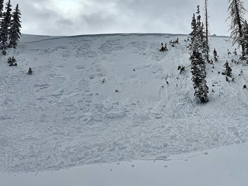
More natural and human triggered avalanches occurred on Saturday. This was the third day in a row of the natural avalanche cycle. I bet there's more today. We may never know the extent of it as much of the evidence will be covered up by the time things clear and we can move around and investigate. What we do know is the avalanche cycle is widespread and conditions have been very touchy. Photo below: Small natural on Saturday in Ephraim Canyon, Jayson Albee
Ad
Avalanche Problem #1
Persistent Weak Layer
Type
Location
Likelihood
Size
Description
If for some reason you insist on going into the backcountry today, it is imperative that you stay off of and out from underneath ANY steep slope. All the red flags are there. A weak base to the snowpack with a faceted Persistent Weak Layer in place. Loads of new snow. Strong wind. Three days of natural avalanches. More snow and wind expected today.
Most of the time I tell people to use caution and make intelligent decisions if going into the backcountry. It's unusual, but today I'd advise not going out.
General Announcements
This forecast is from the U.S.D.A. Forest Service, which is solely responsible for its content. This forecast describes general avalanche conditions and local variations always occur.