Sign up for the 16th Annual
Utah Snow and Avalanche Workshop (USAW) IN PERSON, November 4th at the Dejoria Center in Kamas, UT. Sign up and get more info
HERE.
The
Professional Snow and Avalanche Workshop (PROSAW) will be November 6th at the Dejoria Center in Kamas, UT. Sign up and get more info
HERE.
A quick-hitting storm rolled through Northern Utah early on October 26. This storm lasted roughly 12 hours, bringing 4-8 inches (0.40 - 1.28 water) of new snow to many areas. This storm favored the Ogden and Logan area as they picked up the lion’s share of water, with Ogden ringing in 1.28 inches of water. Provo was on the low end with only 2-4 inches of snow (0.40 water). The Western Uintas split the difference with roughly 0.60” water. Temperatures plummeted with this storm, with current mountain temperatures hovering in the low teens °F. Say goodbye to warm and sunny and welcome the cold and sunny.
The weather outlook for the next seven days is bleak. Clear and cold. The facet factory (
temperature gradient metamorphism) will kick in this week, and this October 26 storm snow could be our first weak layer of the season. Hold the phone! It’s too early to worry about that just yet. However, as you get out and about, keep track of where the snow melts and where the snow sticks around. Areas where the snow doesn’t melt from the sun will be likely suspect areas for future avalanches.
It’s hardly worth getting your boards or sled out just yet. Hiking boots will do. Snow depth across the Wasatch is generally less than 12 inches deep. Hitting rocks and everything else the ground offers will be the main hazard for now.
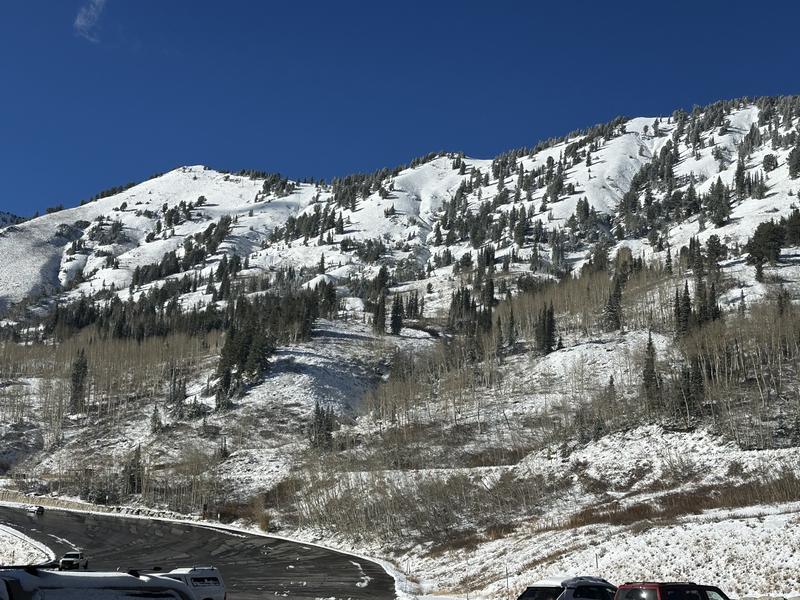
Photo: Looking across the street at the south-facing terrain above the town of Alta.


