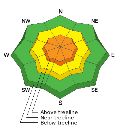
The last daily forecast will be tomorrow, Sunday, April 23. We will provide intermittent updates with any storm until Sunday, May 7th and will continue posting backcountry observations until then.
This past week has generally been cold with some snow on Tuesday, Thursday, and Friday afternoon/evening. Winds from the NW have been mostly light and have been delivering both cold air and moisture. The north slope of the Uintas seems to have been squeezing more snow out of this NW flow.
Since yesterday, most parts of the Uintas may have gotten 4-6" of snow with some locally higher amounts possible. Winds from the WNW increased at higher elevations yesterday afternoon blowing 25-45 mph gusting to 55 mph.
This morning, winds from the NW eased and are blowing 11-16 mph gusting to 30 mph. Temperatures are generally around 20 degrees F above 9000 ft under mostly cloudy skies.
Today skies should remain cloudy and with maybe an inch of snow falling. Temperatures should warm to near 30 degrees. Winds shouldn't change. Skies should begin clearing late tonight.
If dry powder is what you're after, conditions have steadily been improving, and I suspect areas of the north slope have received a foot of total snow this week.
There have been no reported avalanches in the Uintas since last weekend when there were some loose wet avalanches.