Forecast for the Provo Area Mountains

Drew Hardesty
Issued by Drew Hardesty for
Sunday, November 6, 2022
Heavy snowfall and strong westerly winds have led to unstable snow in steep avalanche prone terrain of the highest elevations. The two primary avalanche problems to watch for are (1) fresh deposits of wind-drifted snow and (2) new snow avalanches involving soft slabs or sluffing.
NOTE: We will continue updating information about weather in the Provo area mountains but will hold off issuing danger ratings until coverage increases and we get more snowpack data.
Low
Moderate
Considerable
High
Extreme
Learn how to read the forecast here
Special Announcements
Many ski areas are now closed to uphill travel in order to prepare for winter operations. Resort uphill travel policies can be found HERE>.
Weather and Snow
It felt downright Cascadian in the mountains yesterday, but THIS was another good base-building storm for the Wasatch Range. Storm totals are 6-8" of heavy dense snow. Snow water equivalents in the Provo mountains ranged from 1-1.15"!
For today, expect light snow showers with mountain temperatures rising to the upper 20s up high, the mid 30s down low. Winds will back to the southwest and lose steam until the afternoon. By then, we can expect winds to pick up again with hourly averages of 20-30mph, a hint of what's to come.
A large Pacific storm churning off the coast will move inland and bring heavy snowfall and strong winds to the state early Tuesday through Thursday. Early forecasts suggest upwards of 2'+ of snow for the mid-week storm.
Recent Avalanches
No recent activity reported from the Provo area mountains. One observation from Timp from yesterday can be found HERE>
If you see anything we should know about, please submit an observation HERE.
Check out our observations page for the latest updates from around Utah.
Ad
Additional Information
A Few Things to Remember:
  • Whether you're-hiking, hunting, skiing, boarding, snowshoeing or firing up the snowmachine: be prepared for avalanches
  • Any avalanche can produce serious trauma because of a thin snowpack
  • Hitting rocks and stumps is a real danger. Don't end your season.
  • Treat ski resorts as backcountry terrain and check out the UAC site for resort uphill travel policies

It's never too early to start thinking about avalanches. A few things to consider:
1. Attend USAW and learn more about avalanches and decision making. (scroll down to the bottom of this page for more info and links)
2. Sign up for an avalanche class.
4. Take the all-new online avalanche courses the UAC built for Know Before You Go or take other online courses listed on the KBYG website (Develop skills -> Online Learning).
5. Get your avalanche rescue gear ready for winter. Put fresh batteries in your transceiver and update the firmware. Inspect your shovel and probe. Get your airbag backpack ready by doing a test deployment and update the firmware if it is an electric version.
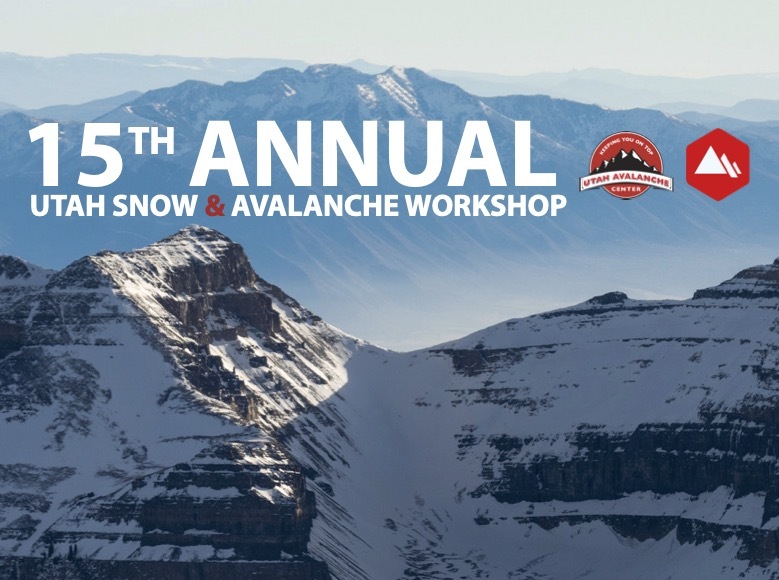
Sign up for the 15th Annual Utah Snow and Avalanche Workshop (USAW) one night left, November 9th. Sign up and get more info for the second session HERE.
The Avalanche Professional and Ski Patrol Snow and Avalanche Workshop (PROSAW) will be during the day of November 7th. Sign up and get more info HERE. (note - PROSAW will be offered both in-person and virtual).
General Announcements

This information does not apply to developed ski areas or highways where avalanche control is normally done. This forecast is from the U.S.D.A. Forest Service, which is solely responsible for its content. This forecast describes general avalanche conditions and local variations always occur.