Forecast for the Moab Area Mountains

Issued by Eric Trenbeath on
Saturday morning, March 19, 2022
Saturday morning, March 19, 2022
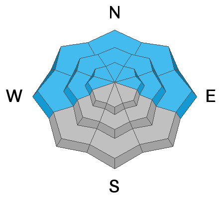
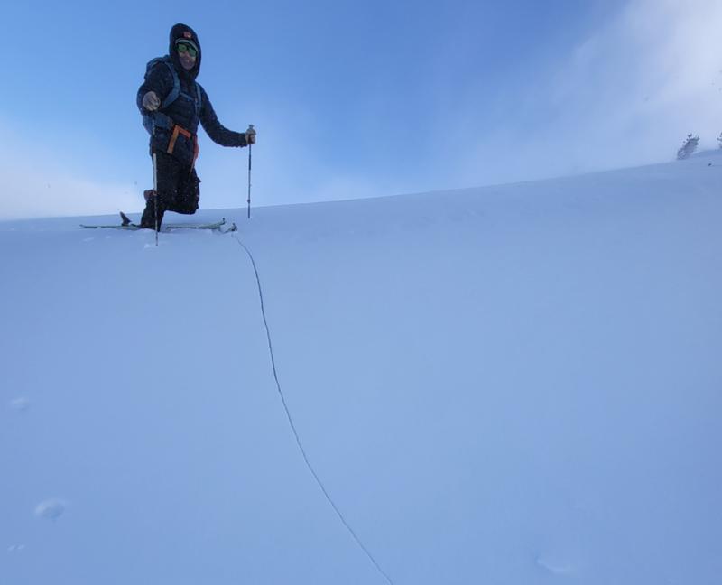
The avalanche danger is MODERATE but the possibility of triggering a deadly avalanche 2'-3' deep on a buried persistent weak layer remains very real. This weak layer is present on all slopes facing W-N-E. These avalanches can be triggered at all elevations but areas of heightened concern are on steep, northerly facing slopes right around treeline. Evaluate snow and terrain carefully and identify features of concern.
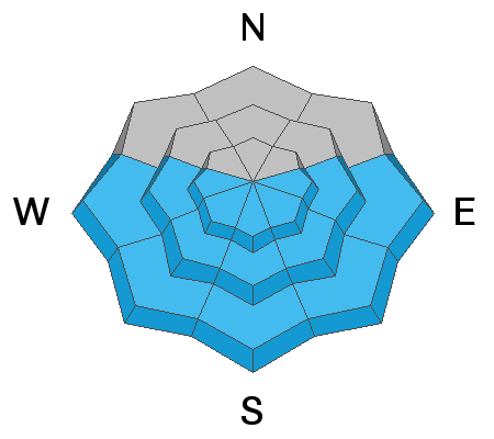
A MODERATE danger also exists for human triggered avalanches involving recent deposits of wind drifted snow. Gusty, erratic winds on Thursday deposited fresh drifts on all aspects. They'll be less sensitive today but be on the lookout for unstable wind slabs on the leeward sides of ridge crests and terrain features such as gully walls, sub-ridges, and rocky outcrops. Fresh drifts are recognizable by their smooth rounded appearance and they may sound hollow underneath.
And finally, afternoon clouds may put a damper on things but with warming temperatures today, you'll need to be on the lookout for loose wet avalanche activity on sun exposed slopes facing the south side of the compass. Signs of instability include rollerballs, pinwheels, and sloppy wet snow.

Low
Moderate
Considerable
High
Extreme
Learn how to read the forecast here


