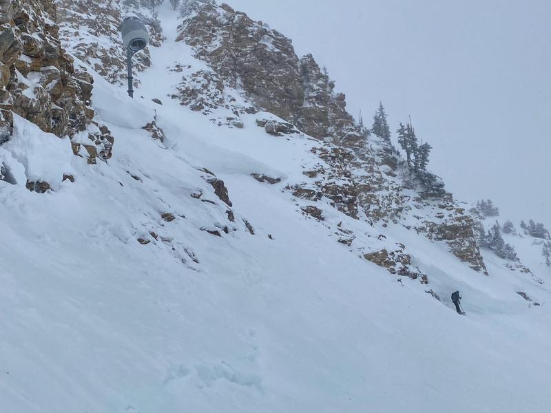
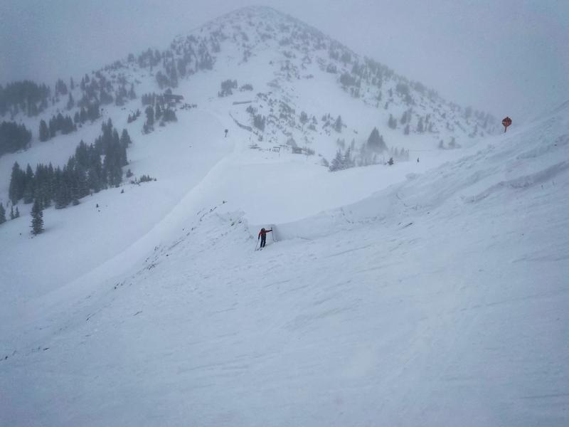
There will be avalanche mitigation work taking place in the Murdock Peak Area near the Super Condor Express chairlift. Please stay clear of that area.
Under cloudy skies, snow has lightly begun falling in the mountains. Temperatures remain cold, with current mountain temperatures in the single digits °F. Winds are light, and are blowing from the west-southwest at speeds of 5-15 mph with occasional gusts up to 20 mph. The last 24 hours was the first reprieve in the strong winds, in about six days. Since yesterday morning, the mountains picked up another trace to 2.5" of snowfall.
Today will be mostly cloudy with another storm moving into the area this afternoon. Heavier snowfall should begin after 3 PM, with 6-12" of snow possible by tomorrow morning. Temperatures will climb out of the single digits to the upper teens and low 20s °F. Throughout the day winds will remain light to moderate, and begin picking up into the afternoon. The west-southwesterly winds will blow at speeds of 10-20 mph with occasional gusts up to 35 mph. The bad news is, as this storm becomes more southwesterly, the winds will continue to increase overnight with upper elevation gusts up to 50 mph.
Many people have asked me what happened to our epic storm? Where is all the snow? Well, Jim Steenburgh covered this question in his blog
HERE. Tuesday morning Trent decided to add up the water amounts for the past five days. Talking to the Alta Avalanche Office, they manually measured at Alta Collins 9,600', 4.14 inches of water for the past five days. In the Uintas, the Trial Lake weather station reads 5.4 inches of water. If you take the normal Utah snow ratio of 12:1, it snowed 50 inches at Alta and 65 inches at Trail Lake. Other parts of the state also ended up with inches of water and feet of snow. Despite the annoying south winds, the water and snow totals are impressive.
No new avalanches were reported in the backcountry yesterday. Ski resorts are still getting explosive triggered results within the upper elevation west through north through east facing terrain.
Photo of explosive triggered hard slab 10,700’ N facing. Upper Little Cottonwood Canyon.