Join us at our 2nd Annual Blizzard Ball

Forecast for the Moab Area Mountains

Eric Trenbeath
Issued by Eric Trenbeath on
Saturday morning, October 30, 2021
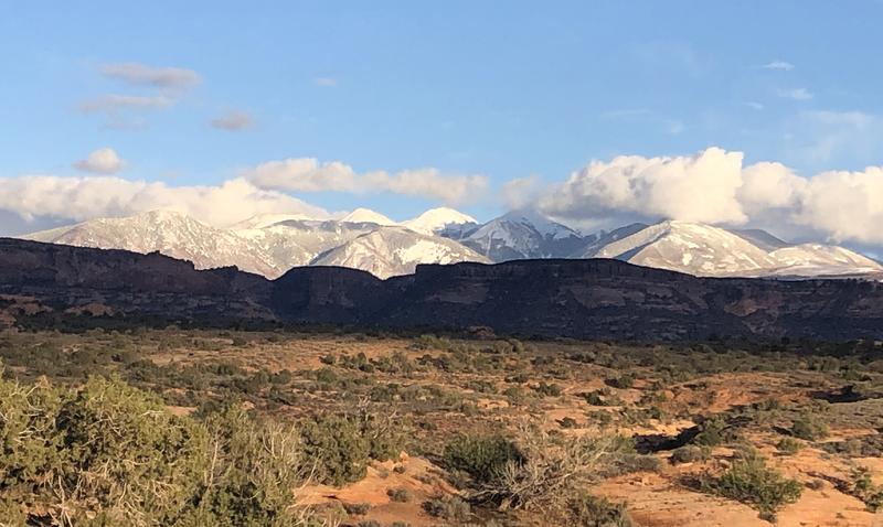
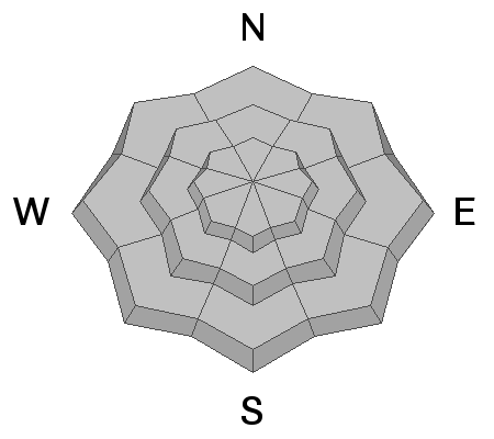
Enough snow exists in the high country to make human triggered avalanches possible. You are most likely to encounter an avalanche on steep, wind drifted, upper elevation, northerly facing slopes. The overall snowpack remains very shallow and triggered avalanches would likely be small but they could potentially knock you down and send you crashing into rocks. If you find yourself in the high country, avoid steep, wind drifted slopes and look for signs of instability such as recent small avalanches and cracking in the snow surface. Coverage remains very thin and the threat of injury from rocks, stumps, and deadfall is real. Stick to grassy, lower angle slopes.
Low
Moderate
Considerable
High
Extreme
Learn how to read the forecast here
Special Announcements
The 14th Annual Utah Snow and Avalanche Workshop is virtual again this year and will be held Nov 5th (professional session) and Nov 9th, 10th, 11th evenings from 6-9pm. More info and speaker lineup on our Events page HERE.
Check all the upcoming education HERE.
Weather and Snow
October has been a wet month in the La Sal Mountains with the most recent storm on the 26th delivering another 10" of dense, heavy, wet snow accompanied by strong southwesterly winds. 7" of snow at 1.0" of Snow Water Equivalent (SWE) fell the night of October 18, and on October 12, the SNOTEL site in Gold Basin (10,000') reported 13" at 1.6" (SWE). On upper elevation, northerly aspects, there was already a pre-existing 6"-12" of old and wind drifted snow. All of this snow is a mixed blessing. Although it has delivered much needed moisture to the region, the stage has been set for a layer of weak, sugary, faceted snow to form at the base of the snowpack on northerly facing slopes above about 11,000'. To learn more about this process, go here. Snow cover is generally too thin for travel on skis or snowmobile and your biggest hazard right now is a myriad of bone and machine breaking obstacles on the ground. Nevertheless, as snow accumulates it's time to start tuning up your avalanche awareness.
Use these weather links to stay abreast of current conditions:
BRAND NEW! Gold Basin SNOTEL site (10,000')
La Sal Mountain SNOTEL site (9600') near the Geyser Pass Trailhead.
Ad
Avalanche Problem #1
Normal Caution
Type
Location
Likelihood
Size
Description
General Early Season Avalanche Safety
Most avalanches happen during or right after a snowstorm. However, any time new snow falls and the wind moves it through the terrain, avalanches are possible. New snow often has a hard time adhering to hard, icy old snow surfaces, so a fall snowstorm can produce small avalanches if it falls onto old snow, grassy areas or rock slabs. The best way to manage these avalanches in the fall is to have a current weather forecast, recognize when there is enough snow to produce avalanches, and select terrain that minimizes your exposure to the risk.
New Snow Avalanches can release as either a soft cohesive layer (slab), or as loose, dry sluffs that start at a point and fan out as they entrain more snow. Loose, dry avalanches are generally harmless but they could carry you over rocks or cliffs if enough snow is involved. Soft slabs in the new snow are more dangerous. They often form when new snow falls with light winds or in wind-sheltered areas. Instability typically last for a few days. You can reduce your risk from Storm Slabs by waiting a day or two after a storm before venturing into steep terrain. Storm slabs are most dangerous on slopes with terrain traps like gullies or cliffs, or slopes that end in timber or scree fields.
Wind Drifted Snow avalanches are caused by slabs that form when wind transports snow from the windward sides of terrain features and deposits it on the leeward side. Wind drifted snow often appears smooth and rounded, and sometimes sounds hollow. Wind drifts form in specific areas leeward of terrain features. You can reduce your risk from wind slab avalanches by sticking to wind-sheltered or wind-scoured areas and avoiding drifted slopes.
General Announcements
This forecast is from the U.S. Forest Service, which is solely responsible for its content. This forecast describes general avalanche conditions and local variations always occur.