March Kicks Off Our Spring Campaign- Donate Now to Support Forecasting

Forecast for the Uintas Area Mountains

Craig Gordon
Issued by Craig Gordon on
Saturday morning, October 30, 2021
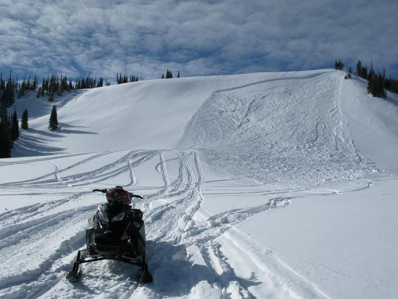
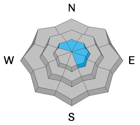
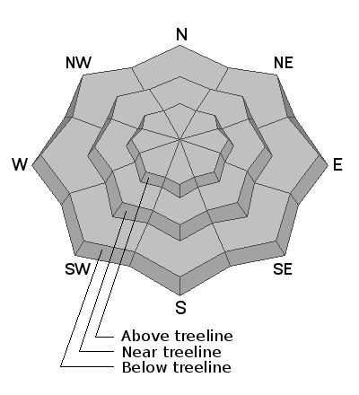
Today's avalanche issues are isolated to high elevation terrain facing the north half of the compass and you'd really have to go out of your way to trigger a slide today. But remember... even a small avalanche this time of year will reveal a myriad of season ending obstacles. So.. if you're hiking, hunting, snowshoeing or out for a high elevation peak bagging circuit you'll want to look for and avoid any steep, wind drifted slope.
Low
Moderate
Considerable
High
Extreme
Learn how to read the forecast here
Special Announcements
Make sure to set some time aside on Nov. 9, 10, and 11 from 6:00-9:00 to join us for the 14th annual Utah Snow and Avalanche Workshop (USAW).
Tuesday Nov. 9th 6:00-9:00 PM
Evaluating snow structure while integrating both new and old technologies to determine avalanche hazards. Register HERE
Wednesday Nov. 10th 6:00- 9:00 PM
Bridge, bombs, and blower: The snowpack and weather factors that led to underwhelming snowfall, yet devastating avalanche conditions during the 2020-2021 season. Register HERE
Thursday Nov. 11th 6:00- 9:00 PM
Decision-making and human interaction with a deceptively tricky snowpack. Register HERE
Weather and Snow
NOWCAST-
Skies are clear, temperatures in the 30's across the board, and southerly winds blow in the teens and low 20's along the high peaks. This weeks storm delivered a solid foot of snow to most of the range and while the eastern front is white from far... with only about 16" of total settled snow, it's far from white.
FUTURECAST-
No big storms in sight. A weak storm wiggles through the region Sunday, high pressure builds for the beginning of the week, with another limited shot of moisture slated for midweek.
Ted was around Camp Steiner and reports... "Only about 12-16" on the ground around the Steiner area and encouraged to not see weak sugary snow near the ground. The snow pack is generally soft storm snow on top getting slightly denser towards the bottom where early October snow fell."
Looking for real-time temps, snow, or wind?
Click HERE and then on the "western Uinta" tab for western Uinta specific, weather station network.
As the seasons change, we're interested in what you're seeing. Go here to fill out an observation.
Recent Avalanches
No recent avalanche activity to report.
Observations, trip reports, and avalanches found here.
Ad
Avalanche Problem #1
Wind Drifted Snow
Type
Location
Likelihood
Size
Description
Above is a 24 hour data dump from Windy Peak, elevation 10,662'. You can clearly see where southerly winds bumped into the mid 20's for about 12 hours late Friday, tapering off early this morning
Fresh drifts along the highest ridges are about the only avalanche concern these days. The good news is... you'd really have to go out of your way to get into trouble because they're isolated to the highest terrain. In addition, today's wind slabs are easy to detect by their fat, round, and often chalky looking appearance. The bad news is... even a small wind drift can easily knock you off your feet and take you for a nasty ride through rocks, deadfall, or stumps.
And remember- just 'cause you can see it from the road doesn't means it's good to go. Our high mountain passes dump us off in avalanche terrain. I think about early season roadside attractions like Murdock Bowl off the Mirror Lake Highway or Wolf Creek Bowl near highway 35 and Wolf Creek Pass. Easy grabs... right? Even though it might not seem like there's enough snow to avalanche, today you'll want to avoid any steep, wind drifted slope.
Additional Information
As the seasons shift we will see you back here more frequently
Your observations are important, so please let me know what you're seeing... click HERE and contribute to this amazing community based program
General Announcements
I will update this forecast as conditions change and then once winter kicks you can expect the usual daily forecasts issued by 07:00... or perhaps earlier :)
Before it gets too crazy, now is the time to book an avalanche awareness presentation for your group, club, or posse. You can reach me directly at 801-231-2170 or [email protected]
This forecast is from the U.S.D.A. Forest Service, which is solely responsible for its content. This forecast describes general avalanche conditions and local variations always occur.