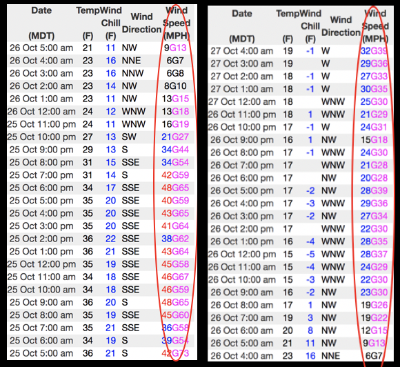
The evolution of our recent storm is clearly evidenced above by the 24 hour data dump from Windy Peak (10,662')
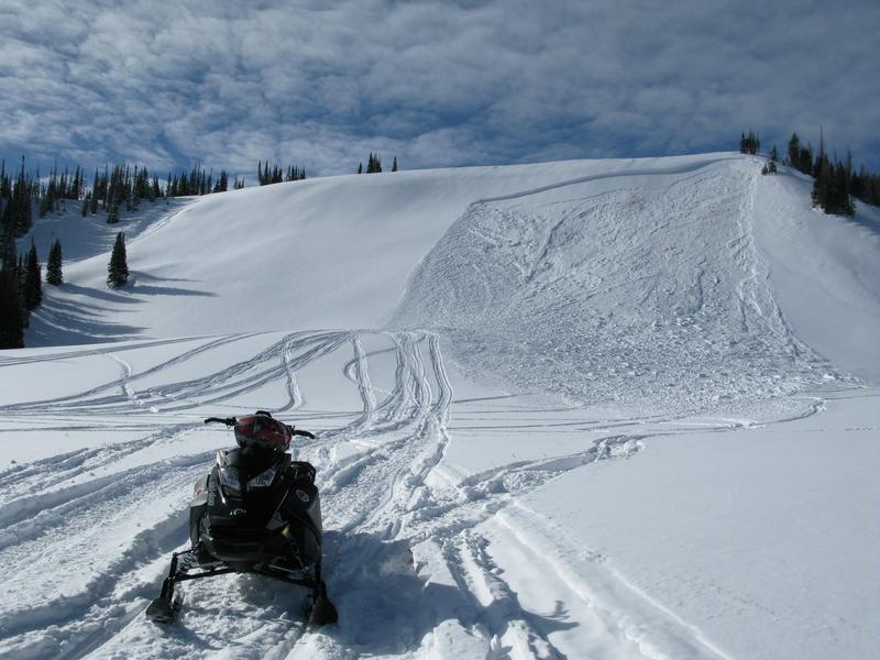
First blowing out of the south, then turning westerly, winds have been all over the map. So... with a foot of storm snow to work with, that means fresh wind drifts formed on nearly every aspect. The good news is, fresh drifts are easy to detect by their fat, round appearance and they're limited to the leeward side of upper elevation ridgelines. The bad news... this is exactly the type of terrain that holds the most snow and where we'll most like be drawn to. I think about early season roadside attractions like Murdock Bowl off the Mirror Lake Highway or Wolf Creek Bowl near highway 35 and Wolf Creek Pass. Easy grabs... right? Even though it might not seem like there's enough snow to avalanche, today you'll want to avoid any steep, wind drifted slope. Remember- even a small wind drift packs enough punch to knock you off your feet and may result in a season ending injury if you slam into a stump, rock, or deadfall barely hidden under the shallow snow.