Join us at our 2nd Annual Blizzard Ball

Forecast for the Salt Lake Area Mountains

Mark Staples
Issued by Mark Staples on
Thursday morning, April 8, 2021
Today, the avalanche danger is LOW and avalanche conditions are generally safe. That doesn't mean no danger. Windy weather should help keep the snow from heating up too much, but some wet loose avalanches could happen. At upper elevations, watch for isolated slabs of wind drifted snow.
Low
Moderate
Considerable
High
Extreme
Learn how to read the forecast here
Weather and Snow
Yesterday's high temperatures were in the upper 30s and low 40s F. This morning temperatures are hovering either side of freezing which is about 13 degrees warmer than yesterday morning. Westerly winds are blowing 7-15 mph and gusting to 24 mph. They are blowing a little stronger at 11,000 feet. The snow became wet yesterday on most slopes except upper elevation north facing ones. Despite generally warm overnight temperatures, the clear skies should have cooled the snow surface enough to refreeze.
Today will be sunny and warm again. However, there is a cold front passing through Idaho and Wyoming today. The main effect will be increased winds this afternoon which may help keep the snow from heating up too much. Temperatures should rise into the low 40s F. Winds at most ridgelines should increase a little and blow 10-20 mph generally from the west.
Recent Avalanches
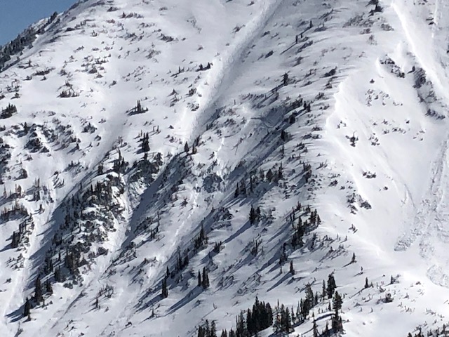
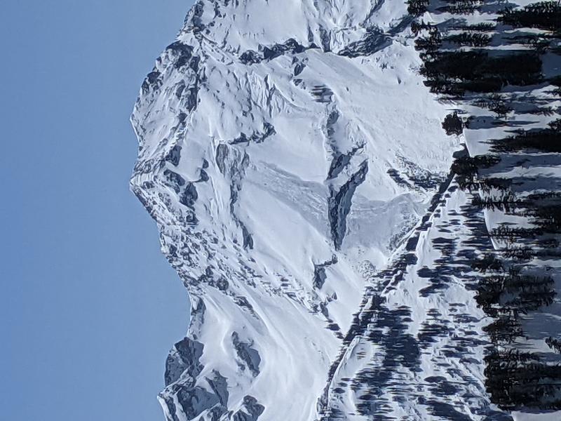
There were two avalanches spotted yesterday worth paying attention to even though it is unclear when they happened. One was a glide avalanche in Broads Fork. The other was a slab of wind drifted snow in White Pine that may have happened after strong winds on Tuesday morning combined with Tuesday's new snow.

As always, find all recent observations HERE.
Ad
Avalanche Problem #1
Wet Snow
Type
Location
Likelihood
Size
Description
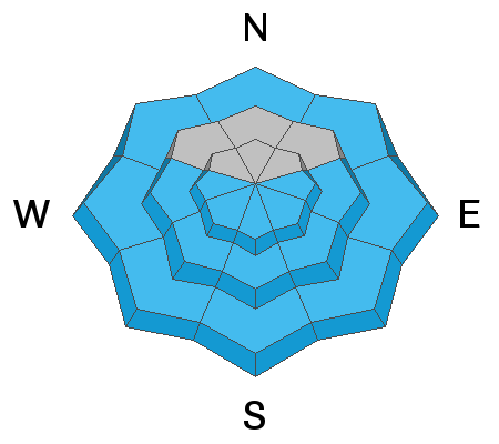
The snow on most slopes became wet yesterday and the surface likely refroze overnight despite warm temperatures. It shouldn't take much warming today for the surface crust to melt, but winds today should help keep the snow from heating up too much.
The balance between sunshine, air temperatures, radiation, and wind all determine how warm and wet the snow becomes, and it is hard to know exactly how all those meteorological inputs will add up. The main point is to always expect some wet loose avalanches as the day heats up and to look for clues of a rising danger. Signs that wet avalanches will start happening include (1) seeing other small wet slides, (2) seeing snowballs roll downhill with increasing frequency, (3) seeing upper layers of snow become increasingly wet.
Avalanche Problem #2
Wind Drifted Snow
Type
Location
Likelihood
Size
Description
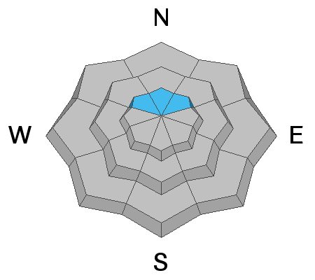
Searching for dry snow will take you to upper elevation, north facing slopes. Many slopes were scoured by northwest winds earlier this week, but others were cross loaded and may have isolated slabs of wind drifted snow that could produce an avalanche today like the one spotted in White Pine. Most of these wind slabs have likely stabilized, but I would avoid large, obvious drifts and look for snow unaffected by those winds.
Photo of wind slab in White Pine (J. Mletschnig).
Avalanche Problem #3
Gliding Snow
Type
Location
Likelihood
Size
Description
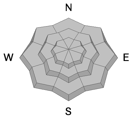
The glide avalanche seen in Broads Fork yesterday is a good reminder of this avalanche problem that will be a threat for the rest of the spring. Liquid water moves though the snow and around underlying rocks in ways at times we can't observe. The timing of a glide avalanche release has been studied, and it is generally unpredictable.
What is predictable is where these avalanches happen which is typically in Broads Fork, Stairs Gulch and other places with smooth rock slabs underneath the snow. There is often a large crack in the snow that extends to the ground visible before these avalanches happen. The main strategy to avoid this problem is to avoid being under any slope with a visible glide crack, and personally I'd avoid being under any terrain with large rock slabs under the snow.
Photo of glide avalanche in Broads Fork (P. Donner).
Additional Information
General Announcements
Please visit this website with information about Responsible Winter Recreation by the Utah Office of Outdoor Recreation.

This information does not apply to developed ski areas or highways where avalanche control is normally done. This forecast is from the U.S.D.A. Forest Service, which is solely responsible for its content. This forecast describes general avalanche conditions and local variations always occur.