Forecast for the Moab Area Mountains

Eric Trenbeath
Issued by Eric Trenbeath on
Saturday morning, February 20, 2021
Breezy southwesterly winds will cause the avalanche danger to rise today as fresh deposits of wind drifted snow add stress to buried persistent weak layers. The avalanche danger is CONSIDERABLE on steep slopes facing NW-NE-SE near treeline and above and deep and deep and dangerous human-triggered avalanches up to 4' deep remain likely in these areas. The avalanche danger is MODERATE on most south-facing slopes near treeline and below and human-triggered avalanches remain possible.
Low
Moderate
Considerable
High
Extreme
Learn how to read the forecast here
Special Announcements
The Geyser Pass Road was plowed on Tuesday, but 3"-5" of new snow has fallen since then. 4x4 with good tires is recommended.
The Lower Utah Nordic Alliance (LUNA) packed and rolled the lower meadow through Gold Basin on Thursday.
Weather and Snow
24 Hour Snow 0" 72 Hour Snow 10" Base Depth in Gold Basin 52" Wind SW 15-20 G35 Temp 21F
Overnight SW winds picked up ahead of the next trough of low-pressure diving across the Great Basin. Today look for increasing clouds and blustery southwest winds with a chance for snow developing this afternoon and into the evening. Points north and those areas favored by NW flow will see the best chance for snow. Winds will shift to the NW as the trough passes through and temps will plummet into the single digits. Sunday should be dry and clear with breezy NW winds. Conditions remain dry through Tues with a slight chance for snow brewing Tues night into Wed.
Wind, temperature, humidity on Pre Laurel Peak (11,700')
Snotel site near Geyser Pass Trailhead (9600')
Storm totals at the Gold Basin study plot (10,000')
Snowpack Discussion
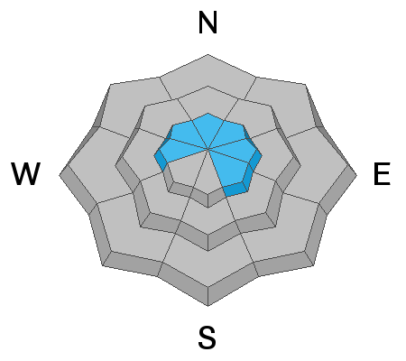
It was a beautiful day in the mountains yesterday with more than 2' of snow falling since last weekend. The powder party is over on S faces however as the strong sun and warm temperatures moistened the snow surface. Expect those aspects to be crusted over today. Seek low angle, sheltered, north-facing slopes for the best and safest conditions. Storms from last week added a significant load to our weak snowpack, and persistent weak layers of sugary faceted snow can now be found on most aspects. Wind-loaded, northerly-facing slopes remain the most likely areas to trigger deep, and dangerous avalanches, but you can also trigger avalanches on more southerly aspects. Avoidance of avalanche terrain or slopes steeper than about 30 degrees is the only sure strategy right now.
Conditions report from Thursday, Feb 18:
Recent Avalanches
It's been a week since any natural avalanche activity has occurred. Natural activity from last weekend's storm was surprisingly low. With the current poor snowpack structure, this means many steep slopes are hanging in balance just waiting for a human trigger.
Ad
Avalanche Problem #1
Persistent Weak Layer
Type
Location
Likelihood
Size
Description
More than 2' of snow has fallen since last weekend adding significant stress to buried persistent weak layers of loose, sugary, faceted snow. On steep slopes facing NW-N-SE, deep and dangerous human triggered avalanches 2'-4' deep remain likely. Weak layers of faceted snow exist on all aspects and the recent snow load has heightened concerns on south facing slopes. Persistent weak layer problems are deceptive and avoidance of avalanche terrain, or slopes steeper than about 30 degrees is the only sure bet.
Avalanche Problem #2
Wind Drifted Snow
Type
Location
Likelihood
Size
Description
Wind drifted snow will bump up the avalanche danger today as fresh drifts form on the leeward sides of ridge crests and terrain features, primarily in upper elevation, wind-exposed terrain. Fresh wind drifts are recognizable by their smooth, rounded appearance and cracking is a sign of instability. On northerly aspects, fresh drifts will additional stress to buried persistent weak layers, and once triggered they will likely produce deeper and even more dangerous avalanches. Avoid steep slopes that have recent deposits of wind drifted snow.
General Announcements
This forecast is from the U.S. Forest Service, which is solely responsible for its content. This forecast describes general avalanche conditions and local variations always occur.