Forecast for the Salt Lake Area Mountains

Issued by Trent Meisenheimer on
Tuesday morning, March 24, 2020
Tuesday morning, March 24, 2020
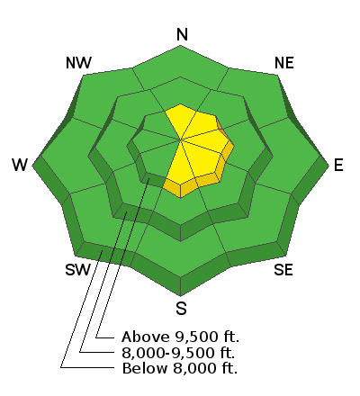
The avalanche danger is MODERATE on upper elevation steep slopes facing north, northeast, east, southeast, and south for triggering shallow drifts of windblown snow. Evaluate snow and terrain carefully and be on the lookout for slopes being loaded by the wind and avoid those areas.
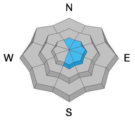
If we see more snow than expected this afternoon, sluffing is likely in the steeper terrain...and may run naturally during periods of heavy snowfall.
If we see more snow than expected this afternoon, sluffing is likely in the steeper terrain...and may run naturally during periods of heavy snowfall.
Keep in mind that closed ski resorts are performing no avalanche control work and must be treated as the backcountry.

Low
Moderate
Considerable
High
Extreme
Learn how to read the forecast here


