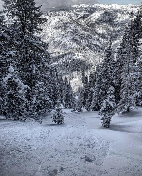
Forecast for the Provo Area Mountains

Nikki Champion
Issued by Nikki Champion on
Wednesday morning, February 5, 2020
Today a MODERATE danger exists on all upper elevation aspects where fresh slabs of wind drifted snow exist.
Shallow soft slabs and sluffing remains possible in the new snow on steep slopes at the upper elevations.
A LOW avalanche danger is found on north-facing mid-elevation slopes and all slopes under 8,000' in elevation where generally safe avalanche conditions exist.
Heads up: A warm, wet, and windy storm will rapidly raise the avalanche hazard over the next few days.
Low
Moderate
Considerable
High
Extreme
Learn how to read the forecast here
Special Announcements
Discounted lift tickets - Thanks to the generous support of our Utah ski resorts and Ski Utah, all proceeds from these ticket sales go towards paying for avalanche forecasting and education! Get your tickets here.
Weather and Snow
Mountain temperatures are still cold! Trailhead temperatures are currently hovering around 5 F, while the uppermost ridgetops are near 5 F. Winds are currently southwesterly averaging between 10-15 mph, with gusts above 25 mph.
Today, temperatures will remain cold averaging in the low teens F. Winds should remain northwesterly with a few gusts up to 45 mph, and increasing throughout the day into the evening. Skies will be partly cloudy until snow lightly begins this afternoon and picks up around midnight.
Looking forward, we have a storm on the horizon that could bring up to 2 feet of heavy, warm snow in combination with moderate to strong winds. Below is the briefing from the National Weather Service.
Recent Avalanches
No new avalanches reported in the backcountry for Provo.
See our full list of observations and avalanches HERE.
Ad
Avalanche Problem #1
Wind Drifted Snow
Type
Location
Likelihood
Size
Description
Since Monday plenty of light snow of varying depths is available for winds to transport. Winds have been strong enough to create sensitive wind drifts and these winds will steadily increase throughout the day. As the winds continue to increase, these wind drifts will become more widespread.
Winds have been both northerly and southerly for the last 24 hours and but should switch to primarily northwesterly into the evening. Today, I would expect to find sensitive slabs of wind drifted snow at all upper elevation slopes, especially along with terrain features such as ridgelines, sub ridges, and gullies.
Look for slopes with any signs of wind drifted snow, such as cracking, hollow noises, and pillow-shaped snow and avoid those slopes.
Avalanche Problem #2
New Snow
Type
Location
Likelihood
Size
Description
On Monday 5 inches of low-density snow fell on a variety of smooth surfaces. The new snow has been reported to be running far and fast in steep terrain. In protected areas that got higher snowfall and have not yet been affected by the wind, I would still expect shallow soft slab and small point release avalanches in this new snow.
Be especially thoughtful of this while traveling above terrain traps, cliff bands and features which the debris could pile up.
Photo of a long-running sluff from the Central Wasatch in Bowman Fork yesterday. (Photo: M. White)
The good news: These can be well managed through avoidance, think about what is above and below you, and with ski cuts.
Additional Information
This afternoon we have another system moving through. It is predicted to start cold, and transition to a heavy, warm, wet snowfall. This is known as an upside-down storm, which occurs when a storm deposits denser snow over less dense snow, in turn rapidly creating a slab/weak layer combination.
In our situation, this warm heavy snow is going to fall on the light, low-density snow from Monday. Following Monday, we have had two days of cold temperatures, which will have just further weakened the new snow. Cold temperatures are what drive faceting, one of the fundamental processes to a weak layer. As the snow totals begin to increase this evening and into tomorrow morning the avalanche danger will rapidly be on the rise.

Tree-well immersions and asphyxiation should be on the radar in areas that received the most snow. Frost-bite is of concern. Roof-alanches should also be on the radar in the coming days as the temperatures increase.
General Announcements
This information does not apply to developed ski areas or highways where avalanche control is normally done. This forecast is from the U.S.D.A. Forest Service, which is solely responsible for its content. This forecast describes general avalanche conditions and local variations always occur.