Sign Up for the Utah Snow and Avalanche Workshop (USAW) on December 7th!

Forecast for the Skyline Area Mountains

Brett Kobernik
Issued by Brett Kobernik on
Friday morning, January 18, 2019
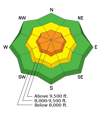
THE STORM WAS A BUST FOR THE SKYLINE. Conditions are still dangerous but not as bad as if we'd received the forecast amount of snow. The avalanche danger is CONSIDERABLE today. Human triggered avalanches are likely on the upper elevation steep slopes. Any slope with recent deposits of wind drifted snow should be avoided.
Low
Moderate
Considerable
High
Extreme
Learn how to read the forecast here
Weather and Snow
The storm is winding down and the Skyline only picked up about 4 to 5 inches of snow overnight. Totals since Wednesday are around 6 to 8 inches. It looks like the north end of the Skyline again faired the best with the most snow. Wind was strong overnight from the west and is starting to slow now.
It looks like mostly clear weather Saturday and Sunday. Another storm moves through Monday.
Ad
Avalanche Problem #1
Wind Drifted Snow
Type
Location
Likelihood
Size
Description
Wind drifted snow will be your main concern today as well as into the weekend. Strong wind created drifts which will be sensitive to the weight of a person. These drifts will mainly be found on more east facing slopes but watch for "crossloaded" terrain features on all aspects in the mid and upper elevations. Look for cornice formation which will indicate the slope below has been loaded. Watch for "pillowy" looking areas of snow which also indicate wind drifted snow.
Additional Information
This forecast is from the U.S. Forest Service, which is solely responsible for its content. This forecast describes general avalanche conditions and local variations always occur.