Thanks for your support of avalanche awareness and education in the Logan Area. Thanks to you our 15th Annual Pray for Snow Party and Fundraiser was a big success!
The Tony Grove Snotel at 8400' reports 3" of new snow with .4" SWE in the last 24 hours. It's 20º F and there's 38"of total snow, containing 116% of average SWE for the date. It's 17º F at the 9700' CSI Logan Peak weather station and southwesterly winds moderated overnight, currently blowing around 10 mph.
Expect partly sunny conditions in the mountains, with high temperatures at 8500' around 22º F and 5 to 10 mph east wind, veering south in the evening. Low temperatures around 12º F are expected tonight, with mostly cloudy skies and 7 mph east wind. It'll be mostly sunny tomorrow, with a high temperature around 22º F and 8 mph east wind, veering west in the afternoon.
High pressure will build into the area for the weekend and into early next week.
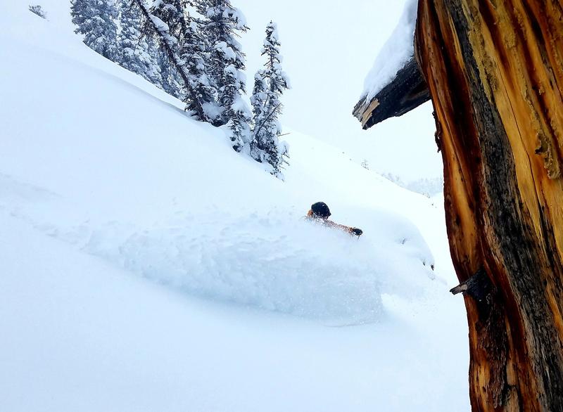
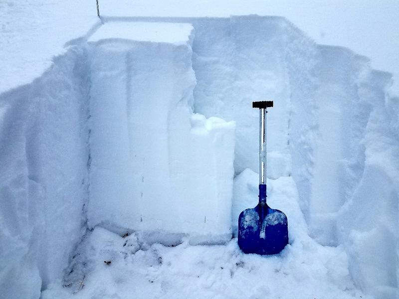
You can find very nice powder in the Logan Zone these days, but heightened avalanche conditions exist on upper elevation slopes that held snow before the Thanksgiving storm. Dangerous human triggered avalanches 2 to 3 feet deep remain possible. There is much less danger and excellent powder conditions where is no old pre-Thanksgiving snow, but you'll need to watch for fresh wind drifts in steep terrain.
No new avalanches were reported in the Logan Zone since a natural cycle at upper elevations on Thanksgiving weekend. We could see evidence of some natural loose sluffs from the weekend in the Wood Camp Area.


