UAC Moab (La Sals/Abajos) forecaster Eric Trenbeath and I are on a short exchange through Sunday. He'll be taking my shifts in the UAC - Salt Lake office this weekend. I'll have forecasts up for the La Sals through Sunday and for the Abajos on Saturday and Sunday.
If anything needs my attention or if there are pertinent snow, weather, or avalanche observations, please submit an observation or email or call me directly: [email protected] or 801.842.8519. Thanks -
Episode 6 of the UAC podcast "A Conversation with Tom Kimbrough" is live. We explore ideas about lifetime exposure to risk and what role Buddhism has played in his life as a climber, skier, and soon-to-be octogenarian. We talk about what has changed over the years in snow science and the role of mentorship in the world of avalanche forecasting and other professions and pursuits. Check it out on ITunes, Stitcher, the UAC blog.
The UAC Marketplace is still open. Our online marketplace still has deals on skis, packs, airbag packs, beacons, snowshoes, soft goods and much more.
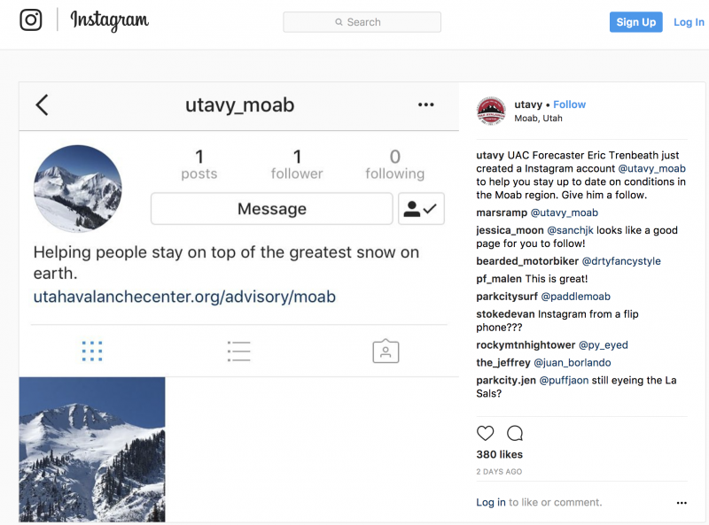
INSTAGRAM! We now have a UAC-Moab Instagram page. You can find it here....but better yet follow us on your smartphone. Confused? Ask a teenager.
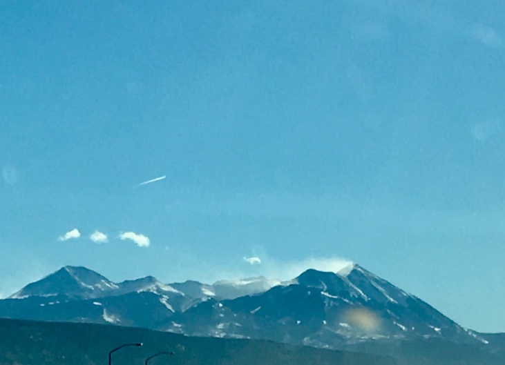
Warm and windy ahead of the storm. Mountain temperatures are in the upper 20s to mid-30s with ferocious winds along the ridgelines. The Pre-Laurel anemometer spins at 35mph with gusts to 50mph. Winds along the highest peaks are much higher. One could even see dramatic plumes off the high peaks from town yesterday. (photo from yesterday morning below.) Expect more of the same today - if not more-so...ahead of tomorrow's frontal passage.
Upper elevation total snow depths are 2-3' with significant wind and sun damage among the exposed talus up high, although one can find soft settled powder in the more protected terrain. February has been a good month for us during an extremely lean winter. The mountains have received 45" of snow since Feb 6, and last week brought 18" - 20". Conditions are greatly improved but it's still thin up there so use caution and tread lightly.
I went up along the Laurel Highway to the weather station and poked around in the north woods on Thursday and went to check on snow and avalanche conditions in the Abajos yesterday. You can find my reports here and here.
Base depth in Gold Basin: 35" Base depth at Geyser Pass Trailhead: 23"
New snow totals in Gold Basin.
Snow totals at the Geyser Pass Trailhead, (9600')
Wind, temperature, and humidity on Pre Laurel Peak (11,700')
Road conditions to Geyser Pass Trailhead: The road is snowpacked and icy in places. Good tires and at least front-wheel drive recommended.
Grooming conditions: Trails were rolled out into Gold Basin mid-week.
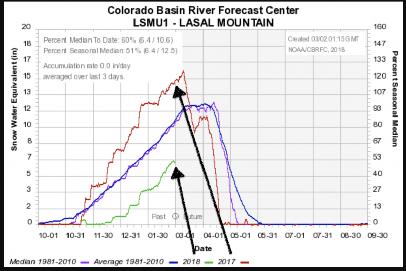
A look at this season compared to last year..and the average. The below graph is from the NRCS La Sals Snotel site at roughly 9570'. We are currently 60% of average - and - well off of last year's banner snowpack season. Pray for snow.
The last reported avalanche occurred just over a week ago on February 22nd - the large natural in the Gravel Pit Lanes - the NE face of Tukno 3.5' deep and 150' wide. Since then, the only known avalanches have been shallow natural wind pockets releasing in the high alpine in the wind zone.
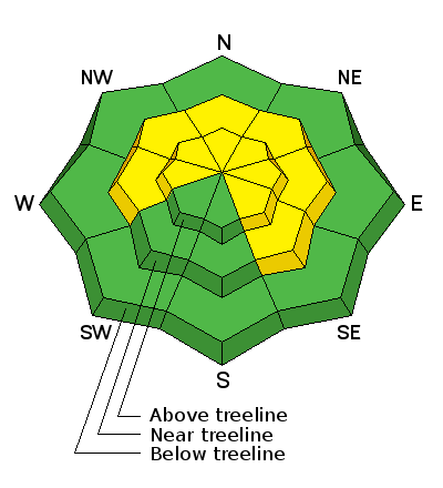
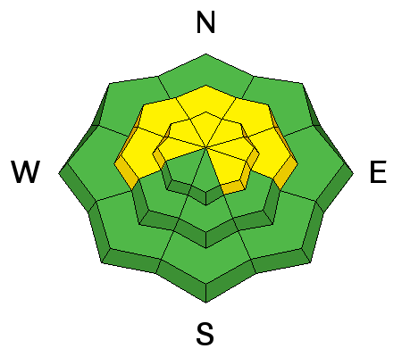
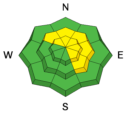
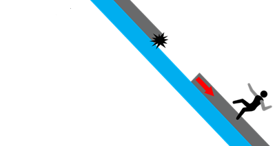
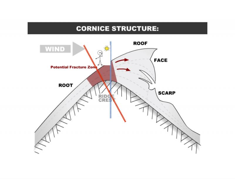
The strong southerlies ripping along the ridgelines may contribute to two avalanche problems:
- Natural cornice fall which then provides enough of a trigger to pry out a hard wind slab or persistent slab below
- Natural release in isolated areas of hard wind slab in the high alpine.
Your information to us helps to save lives. Reports of avalanches, cracking, collapsing or any other information makes a difference. It's easy to do, even from your smartphone. Thanks -