Forecast for the Moab Area Mountains

Issued by Eric Trenbeath for
Thursday, January 5, 2017
Thursday, January 5, 2017
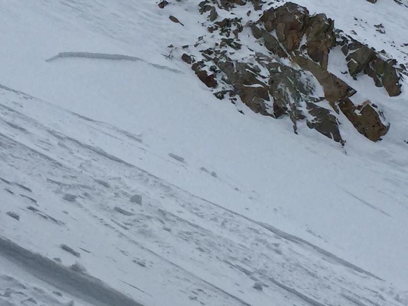
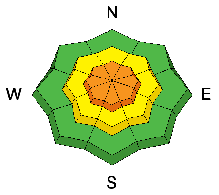
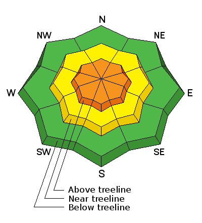
The avalanche danger is CONSIDERABLE today as wind and accumulating new snow combine to create dangerous avalanche conditions on steep, wind loaded slopes in upper elevation, wind exposed terrain. Be alert to rapidly changing conditions and look for signs of instability such as cracking in the snow surface and avoid steep slopes with recent deposits of wind drifted snow. Stay out from under large, steep, avalanche paths that face N-NE-E where even small natural releases have the potential to entrain significant amounts of snow. Out of the wind zone the avalanche danger is MODERATE. Low elevations offer mostly LOW danger.
Low
Moderate
Considerable
High
Extreme
Learn how to read the forecast here