Forecast for the Skyline Area Mountains

Issued by Brett Kobernik on
Saturday morning, January 9, 2016
Saturday morning, January 9, 2016
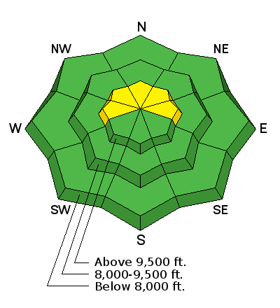
The majority of the terrain out there has a LOW avalanche danger. There is a scattered MODERATE danger still in the upper elevation west, north and east facing slopes approaching 40 degrees in steepness, especially in the more shallow locations. You may still be able to trigger an avalanche that breaks into old weak snow near the ground.
Low
Moderate
Considerable
High
Extreme
Learn how to read the forecast here
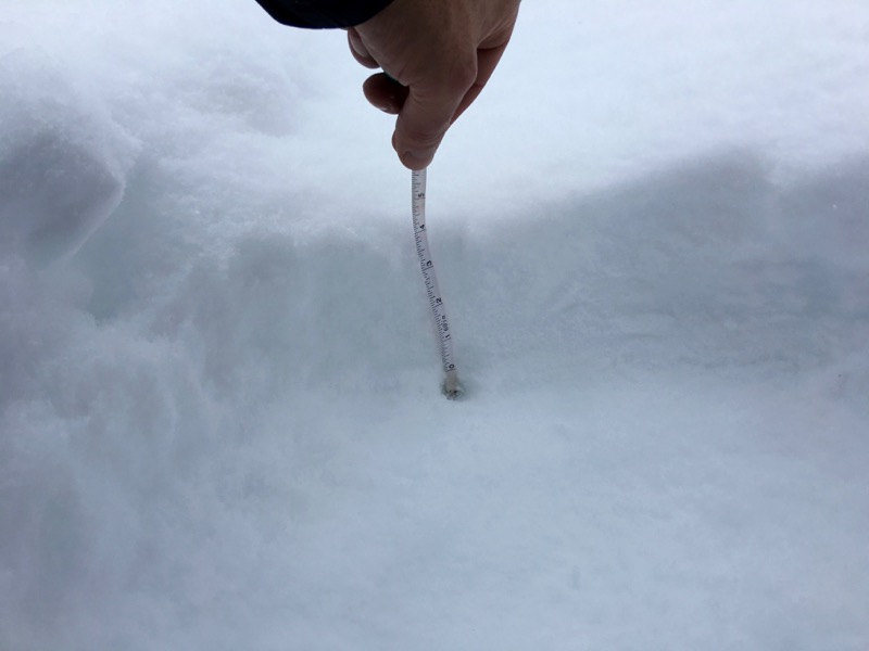 4" new snow on my track from Monday. A few more inches trickled in after I measured this on Friday afternoon.