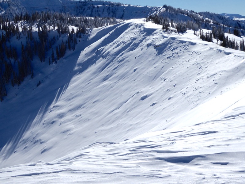
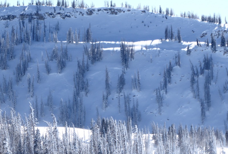
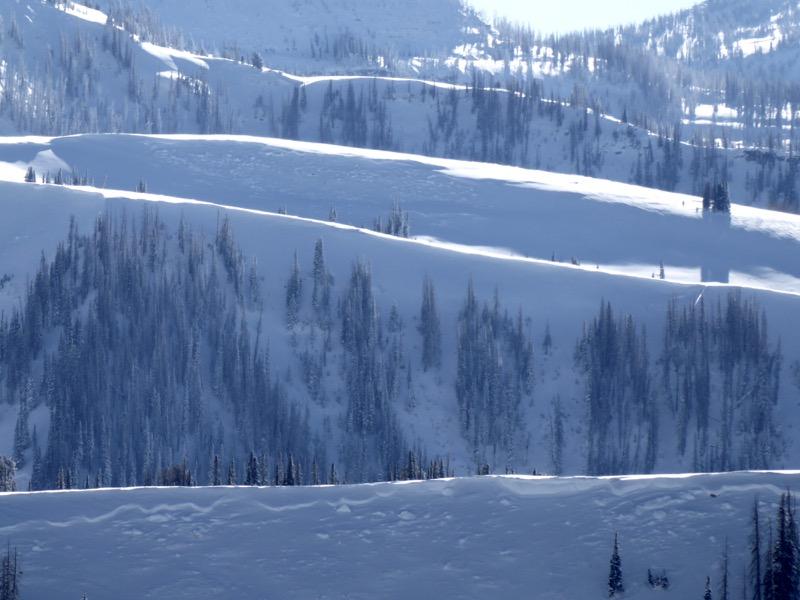
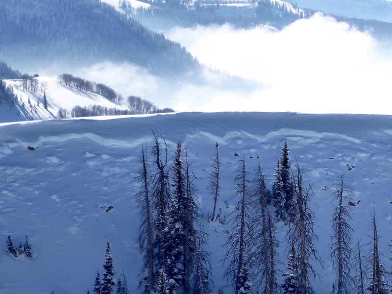
WOW!!! It was an outstanding day for avalanche viewing. All of the avalanches that I viewed released naturally during the natural avalanche cycle from last week. There were two separate periods when these released. The first natural avalanche cycle was on Tuesday, December 22nd. I believe this is when the biggest avalanches occurred. The second natural avalanche cycle was on Christmas Day during a very intense period of rapid snowfall which laid down 22" of new snow. This cycle produced shallower avalanches but it was also quite widespread.
An incredible amount of the upper elevation northwest through east facing slopes have avalanched. Literally every drainage has natural avalanches in it. If you are looking to get onto steeper terrain right now, these slopes are a safer bet than those that have not released.
I intended on doing snowpack analyzing today but it was too cold to do much. It was all I could do to warm my hands up after taking photos. I will do more analyzing over the next few days as temps gradually warm.
I am logging all of the avalanches that I viewed but it's a slow process as I have seen so many.
Here's one in upper Seeley that looks like it released on the earlier cycle of Dec 22nd:

The Manti Skyline is just full of fracture lines everywhere you look. Some of these are more subtle because they released early in the storm cycle and have been filled in with more snow and wind.


