Forecast for the Skyline Area Mountains

Monday morning, December 21, 2015
The avalanche danger will be on the rise and will become very dangerous this week as snow and wind hammers the area. Today the avalanche danger remains CONSIDERABLE on the upper elevation terrain that faces northwest through east. Avoid the upper elevation steep terrain that faces northwest through east.
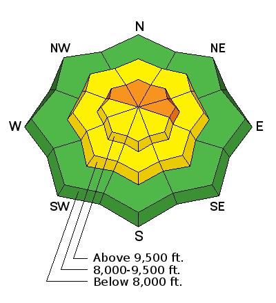
Recent Avalanches
Here is a list of the recent avalanche activity:
Date | Region | Place | Trigger | Depth | Width | Aspect | Elevation | Weakness | |
---|---|---|---|---|---|---|---|---|---|
12/19/2015 | Skyline | Jollys Hole | Snowmobiler | 4' | 300 | East | 10200 | Facets | Details |
12/17/2015 | Skyline | Lake Canyon | Natural | 3.5' | 400 | Northeast | 10200 | Facets | Details |
12/17/2015 | Skyline | Skyline Summit | Natural | Northeast | 9900 | Facets | Details | ||
12/17/2015 | Skyline | Wedding Ring Ridge | Natural | Northeast | 9900 | Facets | Details | ||
12/17/2015 | Skyline | Big Horseshoe | Natural | Northeast | Facets | Details |
Additional Information
General Announcements
We will publish full detailed advisories Saturday and Sunday mornings by 7am. We will also be publishing basic avalanche danger ratings & info during the week.
If you are getting out into the mountains, we love to hear from you! You can SUBMIT OBSERVATIONS ONLINE or EMAIL US
If you would like to have avalanche advisories emailed to you, SIGN UP HERE
We can provide basic avalanche awareness presentations for your school, group or club. To enquire, CLICK HERE