

Forecast for the Uintas Area Mountains

Issued by Craig Gordon on
Monday morning, April 4, 2022
Monday morning, April 4, 2022
With a solid spring snowpack and generally LOW avalanche danger across the board, it's time to stretch your wings and slowly step into big terrain. Remember... even with green light conditions, grab some solid snow beta before pulling the trigger on sustained steep slopes or steep, rocky, technically committing terrain.

Low
Moderate
Considerable
High
Extreme
Learn how to read the forecast here
 Special Announcements
I'd like to thank our incredible community for your support of the 2022 Spring Campaign. We raised $75,000 in two weeks to help grow our avalanche forecasting program. Thank You!
 Weather and Snow
NOWCAST-
Clear skies and slightly cooler temperatures registering in the mid 20's usher in the first Monday of April. Southwest winds increased slightly at the turn of the new day, clocking in at 15-25 mph along the high peaks. No new snow to report since last Tuesday's reset and soft, cold snow got caught up in supply chain issues and is in short supply. However, a bounty of corn awaits yer pickin', especially on mid elevation, south facing terrain where the harvest begins right around 10:00.
FORECAST-
Clouds thicken and winds increase as the day wares on. High temperatures climb into the mid 30's and southwest winds crank into the 40's and 50's by days end. A solid shot of snow develops overnight with 3"-6" a good bet as temperatures dip into the teens.
FUTURECAST-
Expect scattered snow showers for Tuesday morning with clearing skies late in the day which continue in that spirit for midweek.
Looking for real-time temps, snow, or wind? Click HERE and then on the "western Uinta" tab for western Uinta specific, weather station network.
 Recent Avalanches
No other significant avalanche activity to report.
An archive of recent slides is found HERE.
Your input is vital and we're interested in what you're seeing. Please contribute to this great community resource and go here to fill out an observation.

Avalanche Problem #1
Persistent Weak Layer
Type
Location
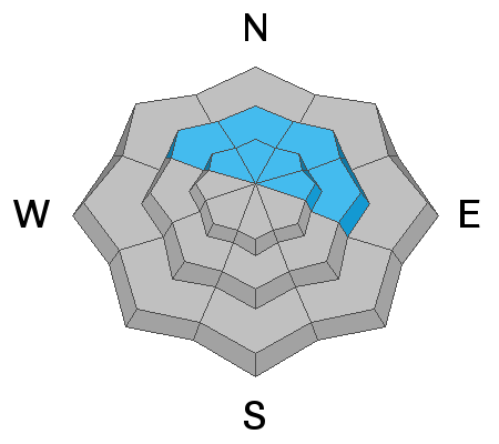
Likelihood
Size
Description
It's spring... the fight between winter and summer where in just a weeks worth of time, we've seen the full meal deal of weather conditions and that means the snowpack has been all over the map. From warm to warmer and then downright hot, the snow surface turned damp and unsupportable, with the bottom falling out in many locations. But just like a superhero, last Tuesday's storm swoops into the region packing a healthy dose of much colder air and saved us in the nick of time. Winter-like temperatures allowed the pack to knit together, tighten up, become stronger, and it's returned to its happy place. In essence, the persistent weak layer or PWL has gained strength and hardness and the snow above it is solidly refrozen. The good news is... this increased strength makes it pretty unlikely that you can trigger an avalanche that breaks around our now dormant problem child the PWL.
Additional Information
Your observations are important, so please let me know what you're seeing... click HERE and contribute to this amazing community based program
General Announcements
The information in this forecast expires 24 hours after the day and time posted, but will be updated by 07:00 Tuesday, April 5th.
Before it gets too crazy, now is the time to book an avalanche awareness presentation for your group, club, or posse. You can reach me directly at 801-231-2170 or [email protected]
This forecast is from the U.S.D.A. Forest Service, which is solely responsible for its content. This forecast describes general avalanche conditions and local variations always occur.